UN/LOCODE hub · Djibouti
DJJIB
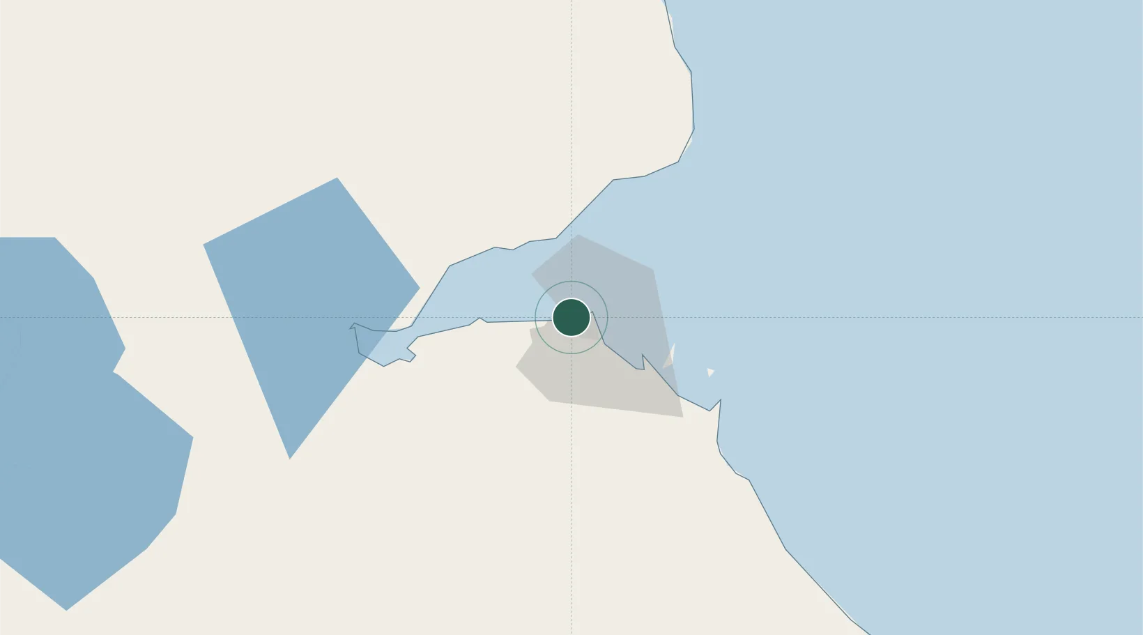
Djibouti
11.5966°, 43.0968°
626,512
Population
3
Transport functions
2
Container terminals
Transport Functions
Port
Airport
Postal
Hub Profile
Place type
National capital
Region
Djibouti
Population
626,512
Time zone
Africa/Djibouti
Elevation
6 m
Logistics facilities
5
Container terminals
2
Location
Nearby Logistics Neighbours
Cities
- 1Djibouti4 km
- 2Camp Lemonier8 km
- 3Damerjog16 km
- 4Perim Island122 km
- 5Assab161 km
Airports
- 1Djibouti-Ambouli Airport9 km
- 2Assab International Airport171 km
- 3Mokha International Airport190 km
- 4Semera Airport230 km
- 5Berbera Airport242 km
Trade Zones
DatabookThe Record of Consolidated Knowledge
Djibouti beyond logistics?