Channel & Berth Profile
Pilotage, Tugs & Services
Pilotage availableYES
Shore powerYES
Potable waterYES
Diesel bunkersYES
MedicalNO
Garbage disposalNO
Facilities & Capabilities
Container—
Ro-Ro—
Liquid bulk—
Dry bulk—
Oil terminal—
Break bulk—
Dry dock—
Repairs—
BunkeringYES
Rail link—
Dangerous cargo—
ISPS security—
Harbour Specifications
Harbour size
Very Small
Harbour type
Coastal (Natural)
Shelter
Good
Water body
Gulf of Alaska; North Pacific Ocean
Tidal range
3 m
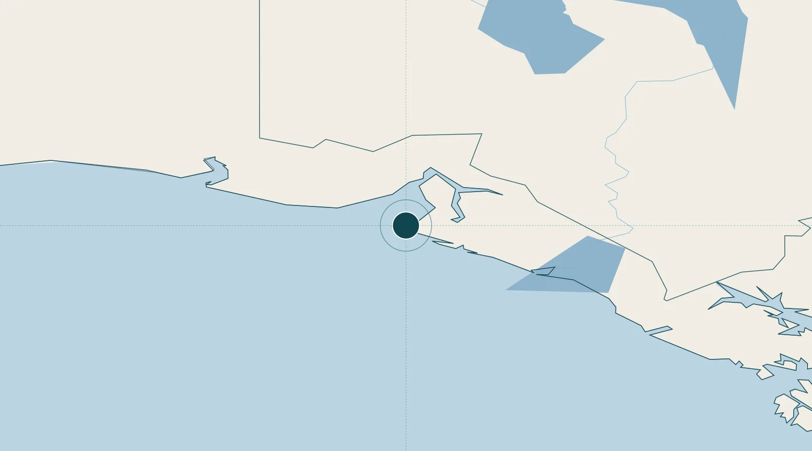
Location
Nearby Logistics Neighbours
Ports
- 1Elfin Cove246 km
- 2Haines246 km
- 3Skagway249 km
- 4Pelican268 km
- 5Excursion Inlet276 km
Cities
- 1Pleasant Island270 km
- 2Juneau333 km
- 3Orca350 km
- 4Cordova352 km
- 5Valdez402 km
Airports
- 1Yakutat Airport6 km
- 2Yakataga Airport165 km
- 3Haines Junction Airport183 km
- 4Burwash Airport206 km
- 5Haines Airport241 km
Trade Zones
- 1FTZ No. 108 Valdez405 km
- 2FTZ No. 160 Anchorage588 km
- 3FTZ No. 195 Fairbanks719 km
- 4FTZ No. 232 Kodiak840 km
- 5PrInce George Logistics Park1205 km
DatabookThe Record of Consolidated Knowledge
United States beyond logistics?