Transport Functions
Port
Road
Hub Profile
Place type
Populated place
Region
Alaska
Time zone
America/Anchorage
Elevation
9 m
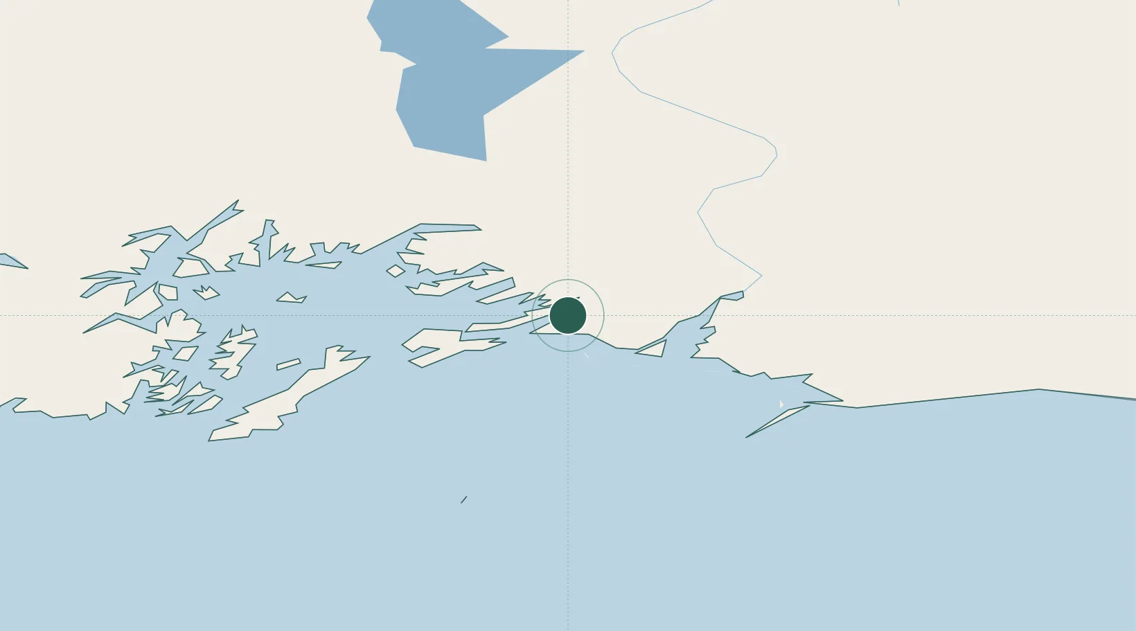
Location
Nearby Logistics Neighbours
Cities
- 1Cordova3 km
- 2Valdez70 km
- 3Elmendorf Air Force Base234 km
- 4Anchorage238 km
- 5Port MacKenzie241 km
Ports
- 1Cordova4 km
- 2Valdez68 km
- 3San Juan Cannery142 km
- 4Whittier165 km
- 5Seward212 km
Airports
- 1Merle K (Mudhole) Smith Airport15 km
- 2Tatitlek Airport64 km
- 3Valdez Pioneer Field70 km
- 4Chenega Bay Airport138 km
- 5Gulkana Airport177 km
Trade Zones
- 1FTZ No. 108 Valdez72 km
- 2FTZ No. 160 Anchorage238 km
- 3FTZ No. 195 Fairbanks487 km
- 4FTZ No. 232 Kodiak571 km
- 5PrInce George Logistics Park1555 km
DatabookThe Record of Consolidated Knowledge
United States beyond logistics?