UN/LOCODE hub · United States
USCDV
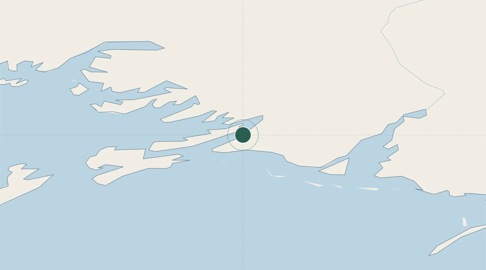
Cordova
60.5577°, -145.7511°
2,196
Population
2
Transport functions
Transport Functions
Port
Airport
Hub Profile
Place type
Populated place
Region
Alaska
Population
2,196
Time zone
America/Anchorage
Elevation
29 m
Logistics facilities
1
Location
Nearby Logistics Neighbours
Cities
- 1Orca3 km
- 2Valdez70 km
- 3Elmendorf Air Force Base232 km
- 4Anchorage236 km
- 5Port MacKenzie239 km
Ports
- 1Orca3 km
- 2Valdez68 km
- 3San Juan Cannery140 km
- 4Whittier162 km
- 5Seward209 km
Airports
- 1Merle K (Mudhole) Smith Airport17 km
- 2Tatitlek Airport62 km
- 3Valdez Pioneer Field69 km
- 4Chenega Bay Airport135 km
- 5Gulkana Airport178 km
Trade Zones
- 1FTZ No. 108 Valdez72 km
- 2FTZ No. 160 Anchorage236 km
- 3FTZ No. 195 Fairbanks487 km
- 4FTZ No. 232 Kodiak568 km
- 5PrInce George Logistics Park1557 km
DatabookThe Record of Consolidated Knowledge
United States beyond logistics?