Medium airport · Canada
Haines Junction AirportCYHT
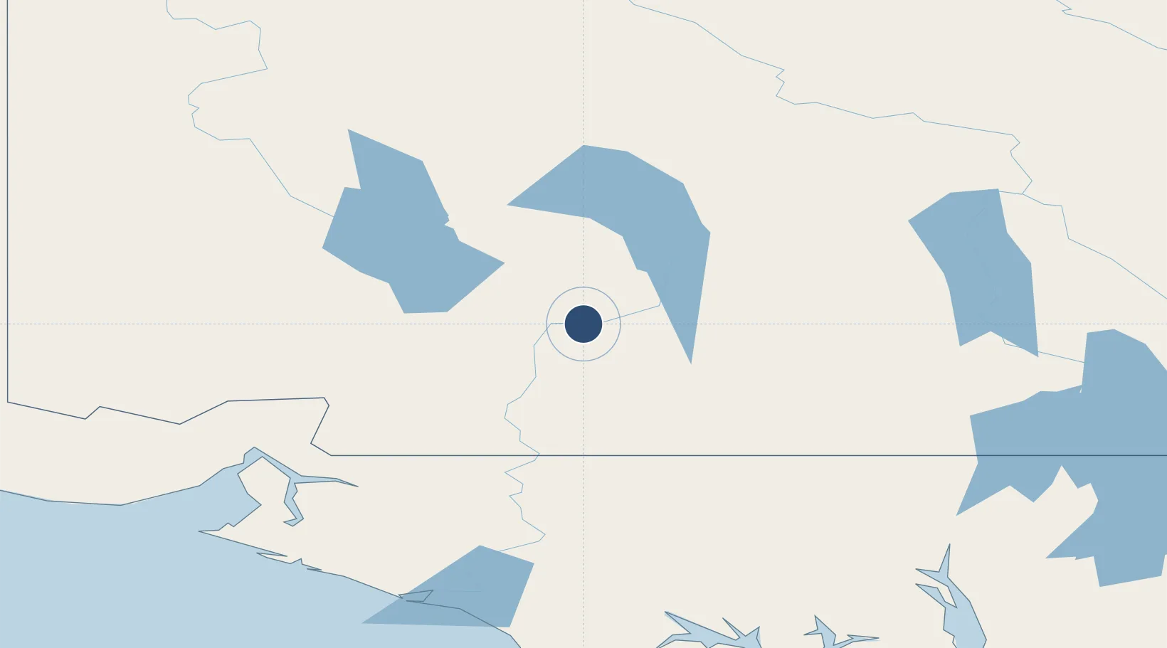
60.7892°, -137.5460°
5,000 ft
Longest runway
1
Runways
2,150 ft
Elevation
Runway & Layout

Runways · 1
| Runway | Dimensions | Surface | True heading | Lit |
|---|---|---|---|---|
| 04/22 | 5,000 × 100ft | GRVL | — | — |
Airport Specifications
IATA code
YHT
ICAO code
CYHT
Airport class
Medium airport
Scheduled service
No
Runway surface
GRVL
Served city
Haines Junction
Location
Nearby Logistics Neighbours
Airports
- 1Burwash Airport103 km
- 2Whitehorse / Erik Nielsen International Airport135 km
- 3Yakutat Airport184 km
- 4Skagway Airport193 km
- 5Haines Airport205 km
Cities
- 1Pleasant Island292 km
- 2Juneau326 km
- 3Orca444 km
- 4Cordova447 km
- 5Tyee450 km
Ports
- 1Yakutat183 km
- 2Skagway193 km
- 3Haines209 km
- 4Excursion Inlet289 km
- 5Elfin Cove296 km
Trade Zones
- 1FTZ No. 108 Valdez477 km
- 2FTZ No. 160 Anchorage666 km
- 3FTZ No. 195 Fairbanks684 km
- 4FTZ No. 232 Kodiak988 km
- 5PrInce George Logistics Park1167 km
DatabookThe Record of Consolidated Knowledge
Canada beyond logistics?