Channel & Berth Profile
Pilotage, Tugs & Services
Pilotage compulsoryYES
Pilotage availableYES
Tug assistanceYES
Shore powerYES
Potable waterYES
Diesel bunkersNO
MedicalYES
Garbage disposalYES
Facilities & Capabilities
Container—
Ro-Ro—
Liquid bulk—
Dry bulk—
Oil terminal—
Break bulk—
Dry dock—
Repairs—
BunkeringNO
Rail linkYES
Dangerous cargo—
ISPS security—
Harbour Specifications
Harbour size
Very Small
Harbour type
Coastal (Natural)
Shelter
Fair
Water body
Alaska-Canada coastal waters; North Pacific Ocean
Tidal range
4.3 m
Pilotage
Yes
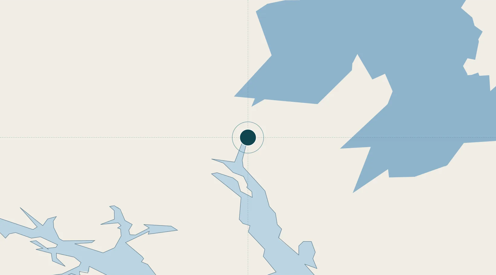
Location
Nearby Logistics Neighbours
Ports
- 1Haines25 km
- 2Excursion Inlet115 km
- 3Funter136 km
- 4Juneau138 km
- 5Hoonah148 km
Cities
- 1Pleasant Island124 km
- 2Juneau136 km
- 3Tyee271 km
- 4Neets Bay464 km
- 5Ward Cove500 km
Airports
- 1Skagway Airport2 km
- 2Haines Airport25 km
- 3Atlin Airport95 km
- 4Excursion Inlet Seaplane Base115 km
- 5Gustavus Airport116 km
Trade Zones
- 1FTZ No. 108 Valdez635 km
- 2FTZ No. 160 Anchorage823 km
- 3FTZ No. 195 Fairbanks877 km
- 4PrInce George Logistics Park982 km
- 5FTZ Vancouver Island1379 km
DatabookThe Record of Consolidated Knowledge
United States beyond logistics?