Seaport · United States

Elfin CoveUSELV

58.2000°, -136.3500°
1.8 m
Channel depth

Channel & Berth Profile

SEA LEVEL (CD)CHANNEL BEDChannel · 1.8 m
NGA World Port Index

Facilities & Capabilities

Container
Ro-Ro
Liquid bulk
Dry bulk
Oil terminal
Break bulk
Dry dock
Repairs
Bunkering
Rail link
Dangerous cargo
ISPS security
NGA World Port Index

Harbour Specifications

Harbour size
Very Small
NGA World Port Index
Harbour type
Coastal (Natural)
NGA World Port Index
Shelter
Good
NGA World Port Index
Water body
Alaska-Canada coastal waters; North Pacific Ocean
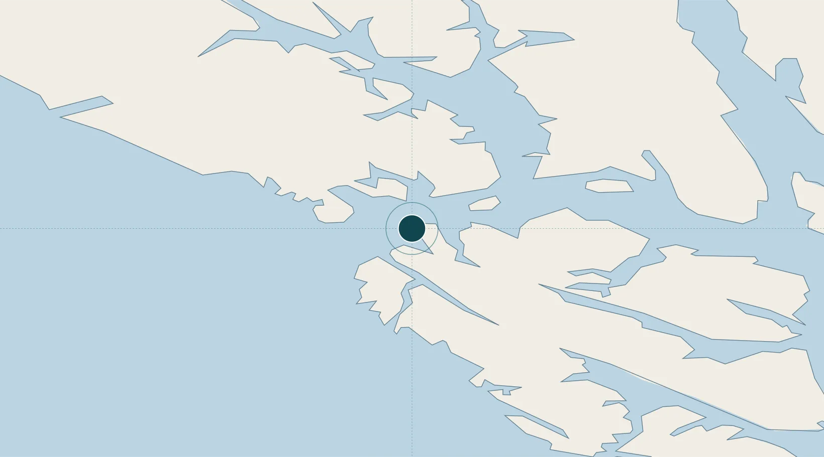
NGA World Port Index

Location

Location of USELV
Natural Earth 10m (public domain) · British Columbia · USELV · 58.20, -136.35GoogleOSMYandex

Nearby Logistics Neighbours

Ports
  1. 1Pelican27 km
  2. 2Hoonah54 km
  3. 3Excursion Inlet58 km
  4. 4Tenakee Springs82 km
  5. 5Funter85 km
Nearest neighbours — logibook spatial index (haversine) over the source coordinates
Cities
  1. 1Pleasant Island45 km
  2. 2Juneau112 km
  3. 3Tyee167 km
  4. 4Neets Bay394 km
  5. 5Ward Cove420 km
Nearest neighbours — logibook spatial index (haversine) over the source coordinates
Airports
  1. 1Elfin Cove Seaplane Base1 km
  2. 2Pelican Seaplane Base28 km
  3. 3Gustavus Airport45 km
  4. 4Hoonah Airport56 km
  5. 5Excursion Inlet Seaplane Base58 km
Nearest neighbours — logibook spatial index (haversine) over the source coordinates
Trade Zones
  1. 1FTZ No. 108 Valdez649 km
  2. 2FTZ No. 160 Anchorage829 km
  3. 3FTZ No. 195 Fairbanks951 km
  4. 4PrInce George Logistics Park967 km
  5. 5FTZ Vancouver Island1318 km
Nearest neighbours — logibook spatial index (haversine) over the source coordinates
DatabookThe Record of Consolidated Knowledge
United States beyond logistics?
Browse databook

All Sources

Portsthe NGA World Port Index
Public domain (US gov)
AirportsOurAirports
Public domain
LocationsUN/LOCODE
UN/LOCODE — free
Trade Zonesthe World Bank SEZ database
CC BY 4.0
Trade ZonesOpen Zone Map
CC BY
← United States ports