Channel & Berth Profile
Pilotage, Tugs & Services
Pilotage availableYES
Shore powerYES
Potable waterYES
Diesel bunkersNO
MedicalNO
Garbage disposalNO
Facilities & Capabilities
Container—
Ro-Ro—
Liquid bulk—
Dry bulk—
Oil terminal—
Break bulk—
Dry dock—
Repairs—
BunkeringNO
Rail link—
Dangerous cargo—
ISPS security—
Harbour Specifications
Harbour size
Very Small
Harbour type
Coastal (Natural)
Shelter
Good
Water body
Alaska-Canada coastal waters; North Pacific Ocean
Tidal range
4 m
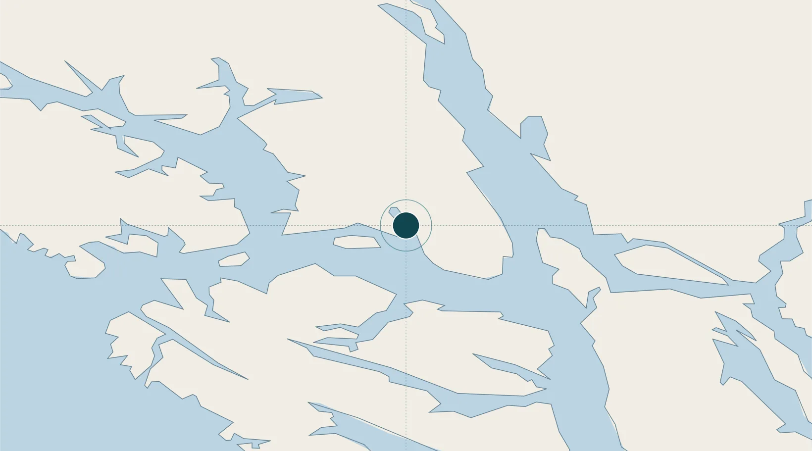
Location
Nearby Logistics Neighbours
Ports
- 1Hoonah33 km
- 2Funter37 km
- 3Hawk Inlet53 km
- 4Elfin Cove58 km
- 5Juneau62 km
Cities
- 1Pleasant Island13 km
- 2Juneau60 km
- 3Tyee161 km
- 4Neets Bay374 km
- 5Ward Cove405 km
Airports
Trade Zones
- 1FTZ No. 108 Valdez680 km
- 2FTZ No. 160 Anchorage864 km
- 3PrInce George Logistics Park930 km
- 4FTZ No. 195 Fairbanks962 km
- 5FTZ Vancouver Island1298 km
DatabookThe Record of Consolidated Knowledge
United States beyond logistics?