Small airport · United States
Yakataga AirportPACY
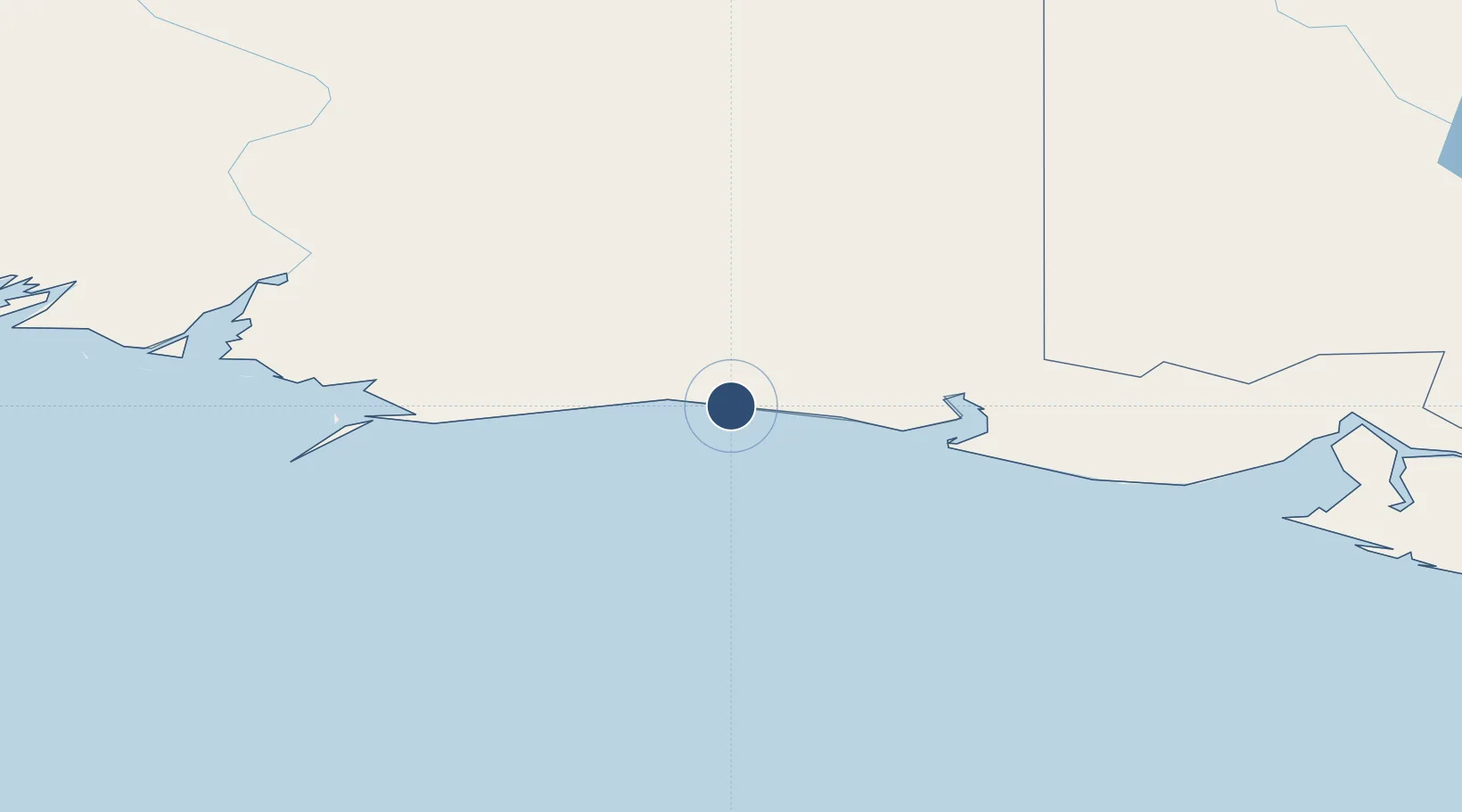
60.0810°, -142.4945°
4,350 ft
Longest runway
1
Runways
12 ft
Elevation
Runway & Layout

Navaids
CYT NDB Yakataga 209 kHz
Runways · 1
| Runway | Dimensions | Surface | True heading | Lit |
|---|---|---|---|---|
| 08/26 | 4,350 × 75ft | TURF-F | — | — |
Airport Specifications
IATA code
CYT
ICAO code
PACY
Airport class
Small airport
Scheduled service
Yes
Runway surface
TURF-F
Served city
Yakataga
Location
Nearby Logistics Neighbours
Airports
- 1May Creek Airport140 km
- 2Merle K (Mudhole) Smith Airport171 km
- 3Yakutat Airport171 km
- 4Valdez Pioneer Field236 km
- 5Burwash Airport236 km
Cities
- 1Orca185 km
- 2Cordova187 km
- 3Valdez238 km
- 4Elmendorf Air Force Base418 km
- 5Anchorage422 km
Ports
- 1Yakutat165 km
- 2Orca186 km
- 3Cordova188 km
- 4Valdez235 km
- 5San Juan Cannery309 km
Trade Zones
- 1FTZ No. 108 Valdez241 km
- 2FTZ No. 160 Anchorage423 km
- 3FTZ No. 195 Fairbanks593 km
- 4FTZ No. 232 Kodiak705 km
- 5PrInce George Logistics Park1371 km
DatabookThe Record of Consolidated Knowledge
United States beyond logistics?