Channel & Berth Profile
Pilotage, Tugs & Services
Pilotage availableYES
Tug assistanceYES
Potable waterYES
Diesel bunkersNO
MedicalYES
Facilities & Capabilities
Container—
Ro-Ro—
Liquid bulk—
Dry bulk—
Oil terminal—
Break bulk—
Dry dock—
Repairs—
BunkeringNO
Rail linkYES
Dangerous cargo—
ISPS security—
Harbour Specifications
Harbour size
Very Small
Harbour type
Coastal (Natural)
Shelter
Good
Water body
Alaska-Canada coastal waters; North Pacific Ocean
Tidal range
2.7 m
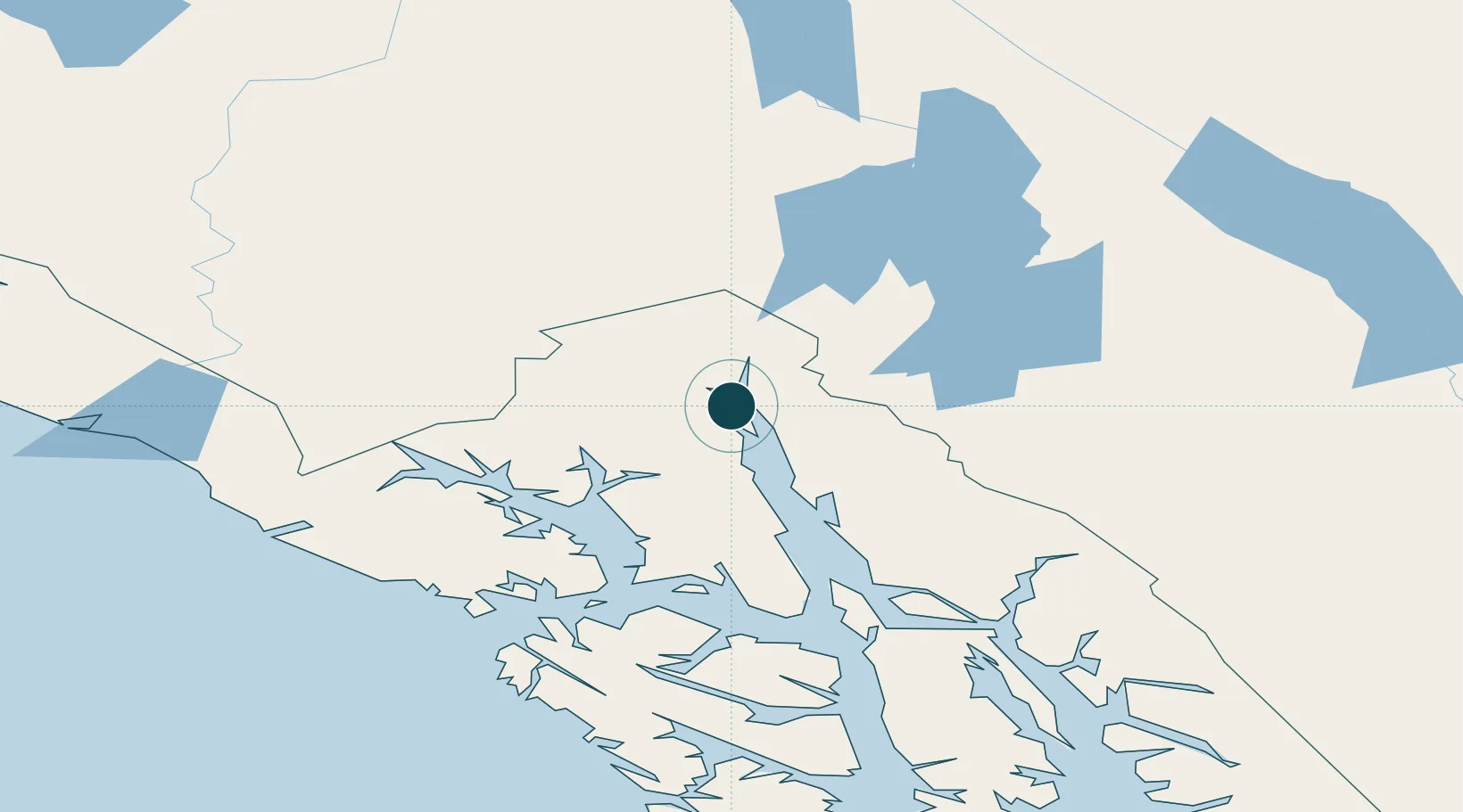
Location
Nearby Logistics Neighbours
Ports
- 1Skagway25 km
- 2Excursion Inlet91 km
- 3Funter114 km
- 4Juneau119 km
- 5Hoonah124 km
Cities
- 1Pleasant Island99 km
- 2Juneau117 km
- 3Tyee248 km
- 4Neets Bay447 km
- 5Ward Cove481 km
Airports
- 1Haines Airport5 km
- 2Skagway Airport26 km
- 3Excursion Inlet Seaplane Base90 km
- 4Gustavus Airport91 km
- 5Point Retreat CG Light Station Helipad96 km
Trade Zones
- 1FTZ No. 108 Valdez639 km
- 2FTZ No. 160 Anchorage827 km
- 3FTZ No. 195 Fairbanks891 km
- 4PrInce George Logistics Park974 km
- 5FTZ Vancouver Island1364 km
DatabookThe Record of Consolidated Knowledge
United States beyond logistics?