Medium airport · United States
Haines AirportPAHN
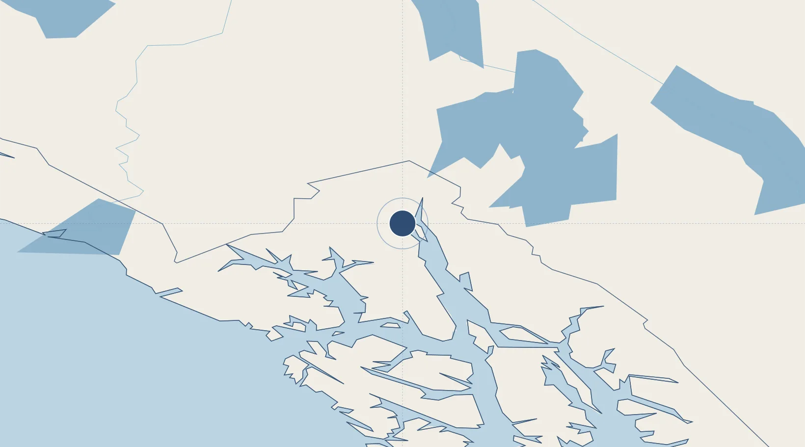
59.2439°, -135.5239°
4,000 ft
Longest runway
1
Runways
15 ft
Elevation
Runway & Layout

Radio Frequencies
ASOS
135.75 MHz
CTAF
122.9 MHz
CNTR
132.3 MHz
ANCHORAGE CNTR
FSS
122.6 MHz
JUNEAU RDO
MISC
24.5 MHz
TWEB
Navaids
HNS NDB Haines 245 kHz
Runways · 1
| Runway | Dimensions | Surface | True heading | Lit |
|---|---|---|---|---|
| 08/26 | 4,000 × 100ft | Asphalt | 110° | ✓ |
Airport Specifications
IATA code
HNS
ICAO code
PAHN
Airport class
Medium airport
Scheduled service
Yes
Runway surface
Asphalt
Served city
Haines
Location
Nearby Logistics Neighbours
Airports
- 1Skagway Airport27 km
- 2Gustavus Airport92 km
- 3Excursion Inlet Seaplane Base92 km
- 4Point Retreat CG Light Station Helipad98 km
- 5Atlin Airport111 km
Cities
- 1Pleasant Island100 km
- 2Juneau121 km
- 3Tyee251 km
- 4Neets Bay450 km
- 5Ward Cove485 km
Ports
- 1Haines5 km
- 2Skagway25 km
- 3Excursion Inlet92 km
- 4Funter116 km
- 5Juneau123 km
Trade Zones
- 1FTZ No. 108 Valdez634 km
- 2FTZ No. 160 Anchorage821 km
- 3FTZ No. 195 Fairbanks887 km
- 4PrInce George Logistics Park979 km
- 5FTZ Vancouver Island1369 km
DatabookThe Record of Consolidated Knowledge
United States beyond logistics?