Channel & Berth Profile
Pilotage, Tugs & Services
Pilotage availableYES
Shore powerYES
Potable waterYES
Diesel bunkersYES
MedicalYES
Garbage disposalNO
Facilities & Capabilities
Container—
Ro-Ro—
Liquid bulk—
Dry bulk—
Oil terminal—
Break bulk—
Dry dock—
RepairsNO
BunkeringYES
Rail link—
Dangerous cargo—
ISPS security—
Harbour Specifications
Harbour size
Very Small
Harbour type
Coastal (Natural)
Shelter
Good
Water body
Alaska-Canada coastal waters; North Pacific Ocean
Tidal range
2.4 m
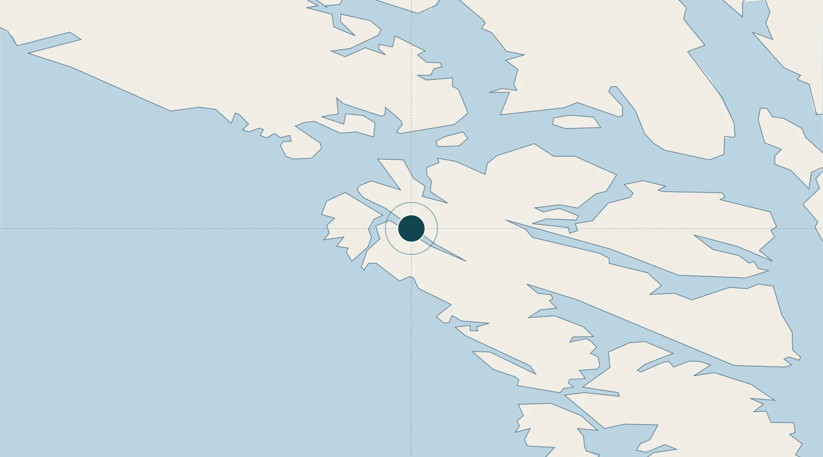
Location
Nearby Logistics Neighbours
Ports
- 1Elfin Cove27 km
- 2Hoonah49 km
- 3Tenakee Springs64 km
- 4Excursion Inlet68 km
- 5Funter84 km
Cities
- 1Pleasant Island55 km
- 2Juneau112 km
- 3Tyee143 km
- 4Neets Bay372 km
- 5Ward Cove397 km
Airports
- 1Pelican Seaplane Base1 km
- 2Elfin Cove Seaplane Base26 km
- 3Hoonah Airport51 km
- 4Gustavus Airport60 km
- 5Tenakee Seaplane Base64 km
Trade Zones
- 1FTZ No. 108 Valdez670 km
- 2FTZ No. 160 Anchorage848 km
- 3PrInce George Logistics Park951 km
- 4FTZ No. 195 Fairbanks976 km
- 5FTZ Vancouver Island1295 km
DatabookThe Record of Consolidated Knowledge
United States beyond logistics?