Medium airport · United States
Yakutat AirportPAYA
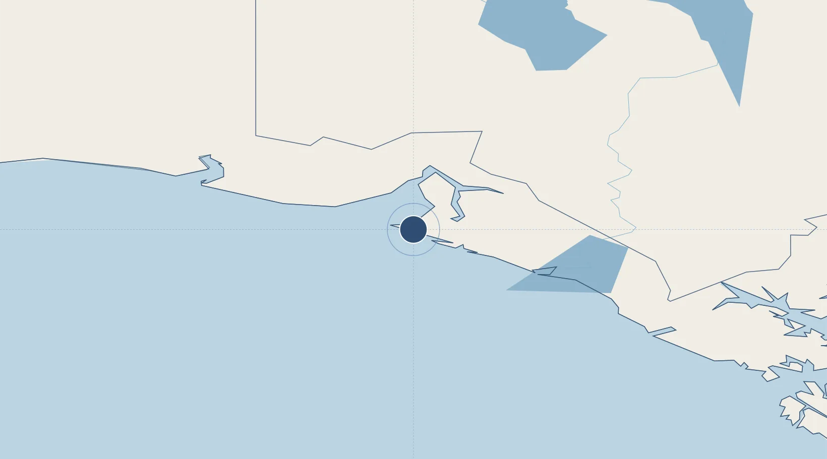
59.5087°, -139.6604°
7,732 ft
Longest runway
2
Runways
33 ft
Elevation
Runway & Layout

Navaids
OCC NDB Ocean Cape 385 kHz
YAK VOR-DME Yakutat 113.30 MHz
Runways · 2
| Runway | Dimensions | Surface | True heading | Lit |
|---|---|---|---|---|
| 11/29 | 7,732 × 150ft | ASPH-G | 135° | — |
| 02/20 | 6,475 × 150ft | CONC-F | 045° | — |
Airport Specifications
IATA code
YAK
ICAO code
PAYA
Airport class
Medium airport
Scheduled service
Yes
Runway surface
ASPH-G
Served city
Yakutat
Location
Nearby Logistics Neighbours
Airports
- 1Yakataga Airport171 km
- 2Haines Junction Airport184 km
- 3Burwash Airport210 km
- 4Haines Airport236 km
- 5Elfin Cove Seaplane Base240 km
Cities
- 1Pleasant Island265 km
- 2Juneau327 km
- 3Orca355 km
- 4Cordova358 km
- 5Tyee405 km
Ports
- 1Yakutat6 km
- 2Elfin Cove240 km
- 3Haines241 km
- 4Skagway244 km
- 5Pelican262 km
Trade Zones
- 1FTZ No. 108 Valdez410 km
- 2FTZ No. 160 Anchorage594 km
- 3FTZ No. 195 Fairbanks725 km
- 4FTZ No. 232 Kodiak843 km
- 5PrInce George Logistics Park1200 km
DatabookThe Record of Consolidated Knowledge
United States beyond logistics?