Foreign Trade Zone · United States

FTZ No. 160 Anchorage Active

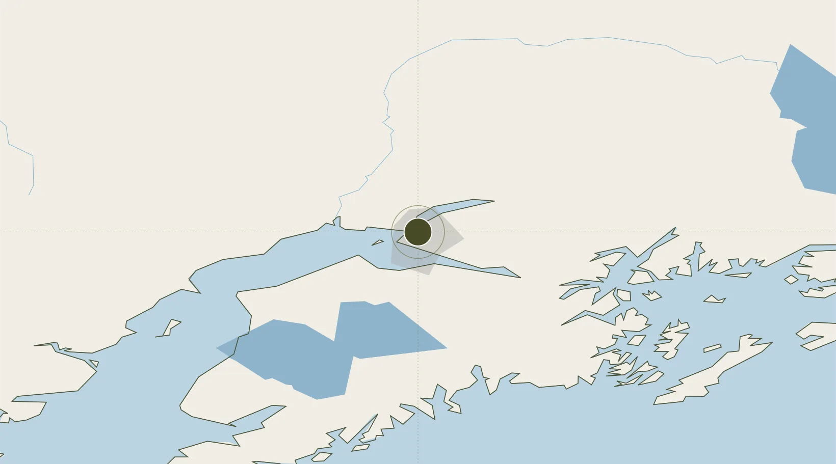
61.2393°, -149.8880°
2.6 km
Nearest port
3.8 km
Nearest airport

Gateway access

Nearest neighbours — logibook spatial index (haversine) over the source coordinates

Zone profile

Zone type
Foreign Trade Zone
Open Zone Map
Region
Alaska
Open Zone Map
Status
Active
Open Zone Map
Management
Public
Open Zone Map
Operator
Port of Anchorage
Open Zone Map
Legal framework
Foreign-Trade Zones Act
Open Zone Map

Location

Location of ozm-4758
Natural Earth 10m (public domain) · Alaska · ozm-4758 · 61.24, -149.89GoogleOSMYandex

Nearby Logistics Neighbours

Ports
  1. 1Anchorage3 km
  2. 2Whittier82 km
  3. 3Nikiski102 km
  4. 4Kenai107 km
  5. 5Seward129 km
Nearest neighbours — logibook spatial index (haversine) over the source coordinates
Airports
  1. 1Merrill Field4 km
  2. 2Elmendorf Air Force Base5 km
  3. 3Ted Stevens Anchorage International Airport9 km
  4. 4Birchwood Airport28 km
  5. 5Wasilla Airport41 km
Nearest neighbours — logibook spatial index (haversine) over the source coordinates
Cities
  1. 1Anchorage1 km
  2. 2Port MacKenzie3 km
  3. 3Elmendorf Air Force Base5 km
  4. 4Houston44 km
  5. 5Susitna46 km
Nearest neighbours — logibook spatial index (haversine) over the source coordinates
Trade Zones
  1. 1FTZ No. 108 Valdez189 km
  2. 2FTZ No. 195 Fairbanks416 km
  3. 3FTZ No. 232 Kodiak470 km
  4. 4PrInce George Logistics Park1793 km
  5. 5FTZ Vancouver Island2133 km
Nearest neighbours — logibook spatial index (haversine) over the source coordinates
DatabookThe Record of Consolidated Knowledge
United States beyond logistics?
Browse databook

All Sources

Trade ZonesOpen Zone Map
CC BY
Portsthe NGA World Port Index
Public domain (US gov)
AirportsOurAirports
Public domain
LocationsUN/LOCODE
UN/LOCODE — free
← United States trade zones