Foreign Trade Zone · United States

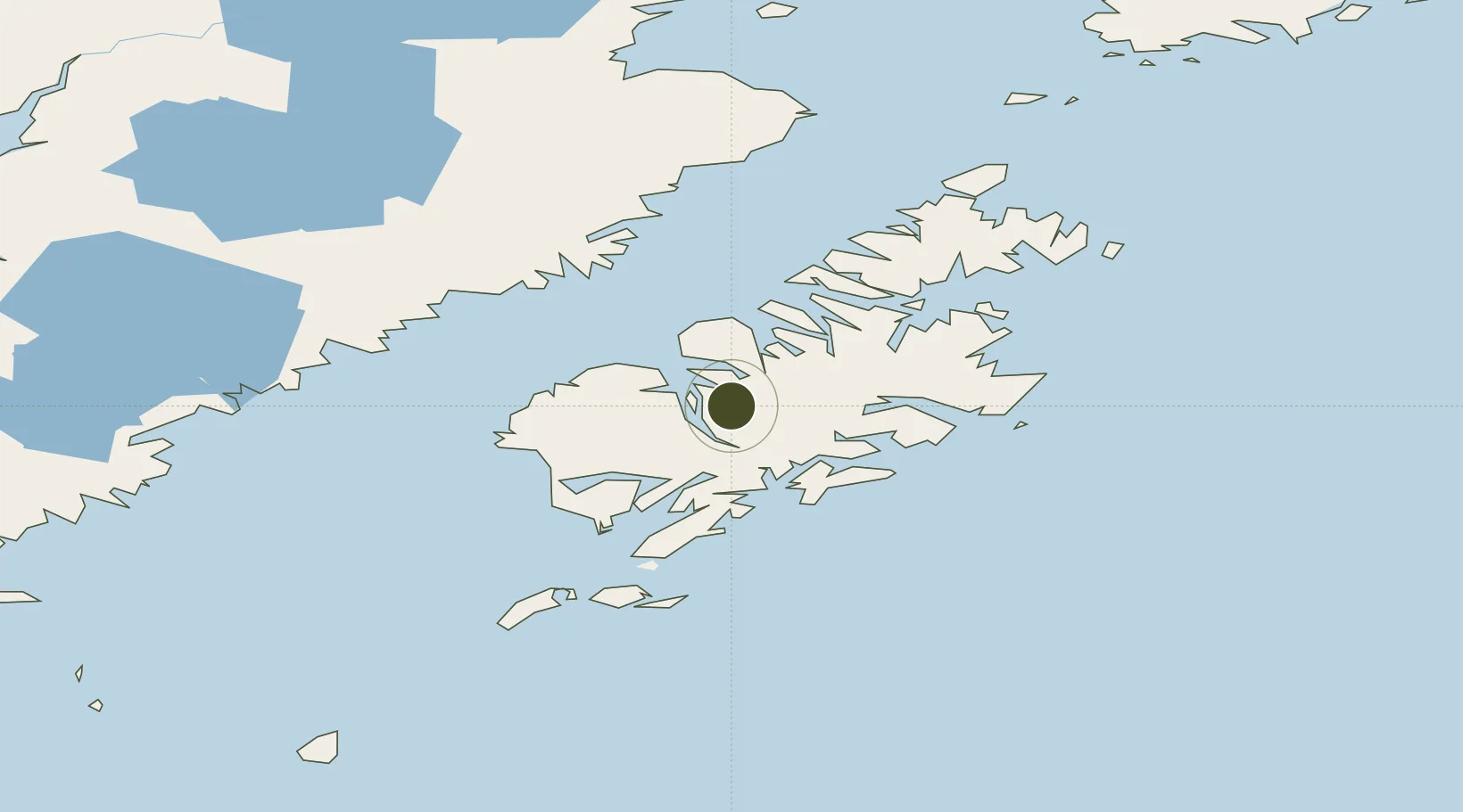
FTZ No. 232 Kodiak Inactive

57.4715°, -153.6702°
19.9 km
Nearest port
8.7 km
Nearest airport

Gateway access

Nearest neighbours — logibook spatial index (haversine) over the source coordinates

Zone profile

Zone type
Foreign Trade Zone
Open Zone Map
Region
Alaska
Open Zone Map
Status
Inactive
Open Zone Map
Management
Public-Private Partnership
Open Zone Map
Operator
Kodiak Island Borough
Open Zone Map
Legal framework
Foreign-Trade Zones Act
Open Zone Map

Location

Location of ozm-4935
Natural Earth 10m (public domain) · Alaska · ozm-4935 · 57.47, -153.67GoogleOSMYandex

Nearby Logistics Neighbours

Ports
  1. 1Larsen Bay20 km
  2. 2Uyak27 km
  3. 3Mccord46 km
  4. 4Karluk48 km
  5. 5Kodiak83 km
Nearest neighbours — logibook spatial index (haversine) over the source coordinates
Airports
  1. 1Amook Bay Seaplane Base9 km
  2. 2Zachar Bay Seaplane Base10 km
  3. 3Larsen Bay Airport20 km
  4. 4West Point Village Seaplane Base34 km
  5. 5San Juan /Uganik/ Seaplane Base36 km
Nearest neighbours — logibook spatial index (haversine) over the source coordinates
Cities
  1. 1Kaguyak68 km
  2. 2Afognak80 km
  3. 3Jakolof Bay253 km
  4. 4Anchorage470 km
  5. 5Port MacKenzie472 km
Nearest neighbours — logibook spatial index (haversine) over the source coordinates
Trade Zones
  1. 1FTZ No. 160 Anchorage470 km
  2. 2FTZ No. 108 Valdez581 km
  3. 3FTZ No. 195 Fairbanks879 km
  4. 4PrInce George Logistics Park1960 km
  5. 5FTZ Vancouver Island2200 km
Nearest neighbours — logibook spatial index (haversine) over the source coordinates
DatabookThe Record of Consolidated Knowledge
United States beyond logistics?
Browse databook

All Sources

Trade ZonesOpen Zone Map
CC BY
Portsthe NGA World Port Index
Public domain (US gov)
AirportsOurAirports
Public domain
LocationsUN/LOCODE
UN/LOCODE — free
← United States trade zones