UN/LOCODE hub · United States
USOLM
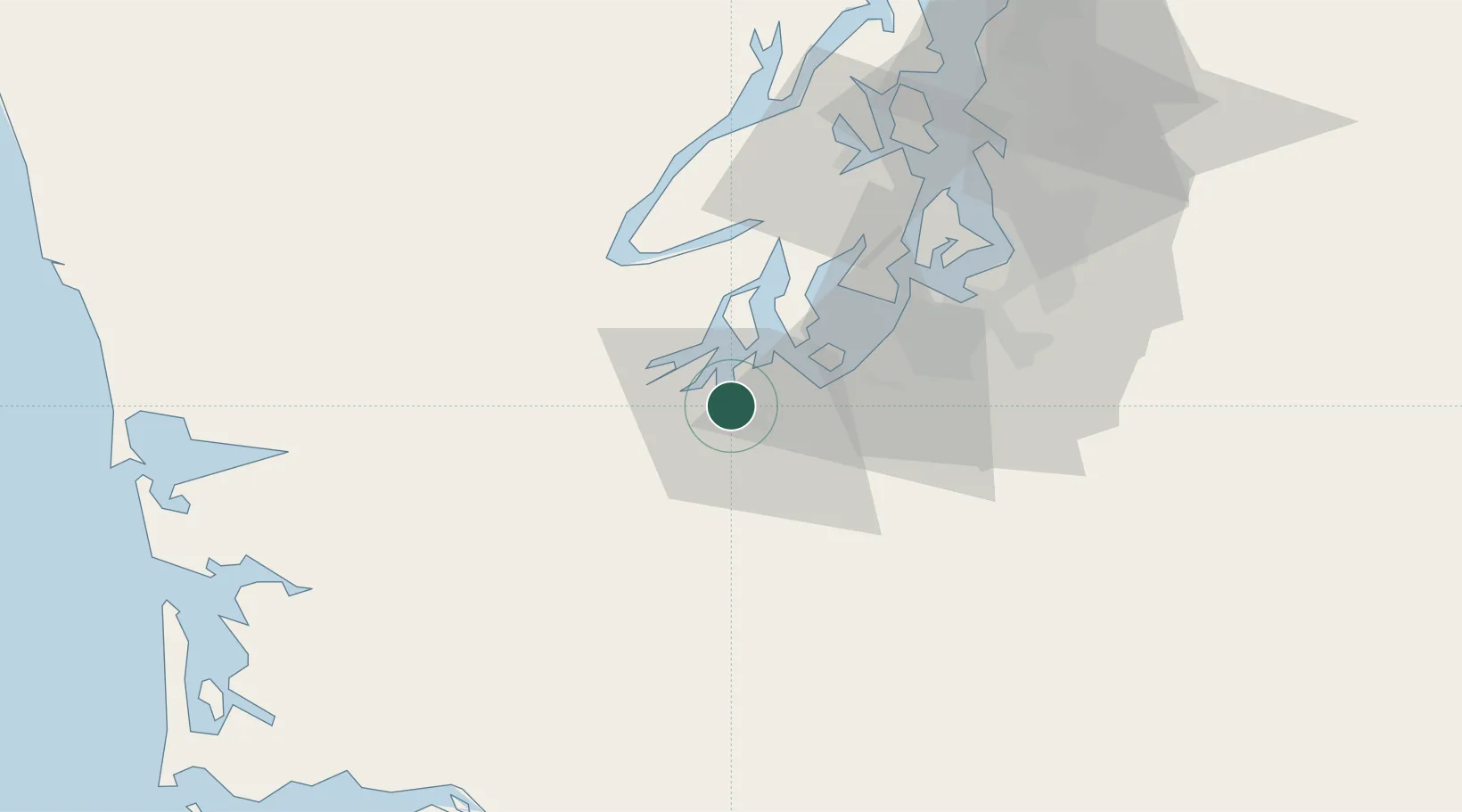
Olympia
47.0530°, -122.9046°
55,733
Population
2
Transport functions
Transport Functions
Port
Airport
Hub Profile
Place type
Regional capital
Region
Washington
Population
55,733
Time zone
America/Los_Angeles
Elevation
29 m
Logistics facilities
1
Location
Nearby Logistics Neighbours
Cities
- 1Fort Lewis26 km
- 2McCleary26 km
- 3Yelm27 km
- 4McChord Air Force Base32 km
- 5Tahuya37 km
Ports
- 1Shelton23 km
- 2Hoodsport44 km
- 3Tacoma45 km
- 4Port Orchard57 km
- 5Bremerton60 km
Airports
- 1Olympia Regional Airport9 km
- 2Gray Army Air Field25 km
- 3McChord Air Force Base34 km
- 4Tacoma Narrows Airport34 km
- 5Bremerton National Airport50 km
Trade Zones
- 1FTZ No. 216 Olympia2 km
- 2FTZ No. 212 Tacoma36 km
- 3FTZ No. 086 Tacoma44 km
- 4FTZ No. 005 Seattle70 km
- 5FTZ No. 120 Cowlitz County104 km
DatabookThe Record of Consolidated Knowledge
United States beyond logistics?