UN/LOCODE hub · United States
USEAW

Elma

47.0000°, -123.4000°
3,034
Population
3
Transport functions

Transport Functions

Rail
Road
Multimodal
UN/LOCODE

Hub Profile

Place type
Populated place
GeoNames
Region
Washington
GeoNames
Population
3,034
GeoNames
Time zone
America/Los_Angeles
GeoNames
Elevation
15 m
GeoNames

Location

Location of USEAW
Natural Earth 10m (public domain) · Washington · USEAW · 47.00, -123.40GoogleOSMYandex

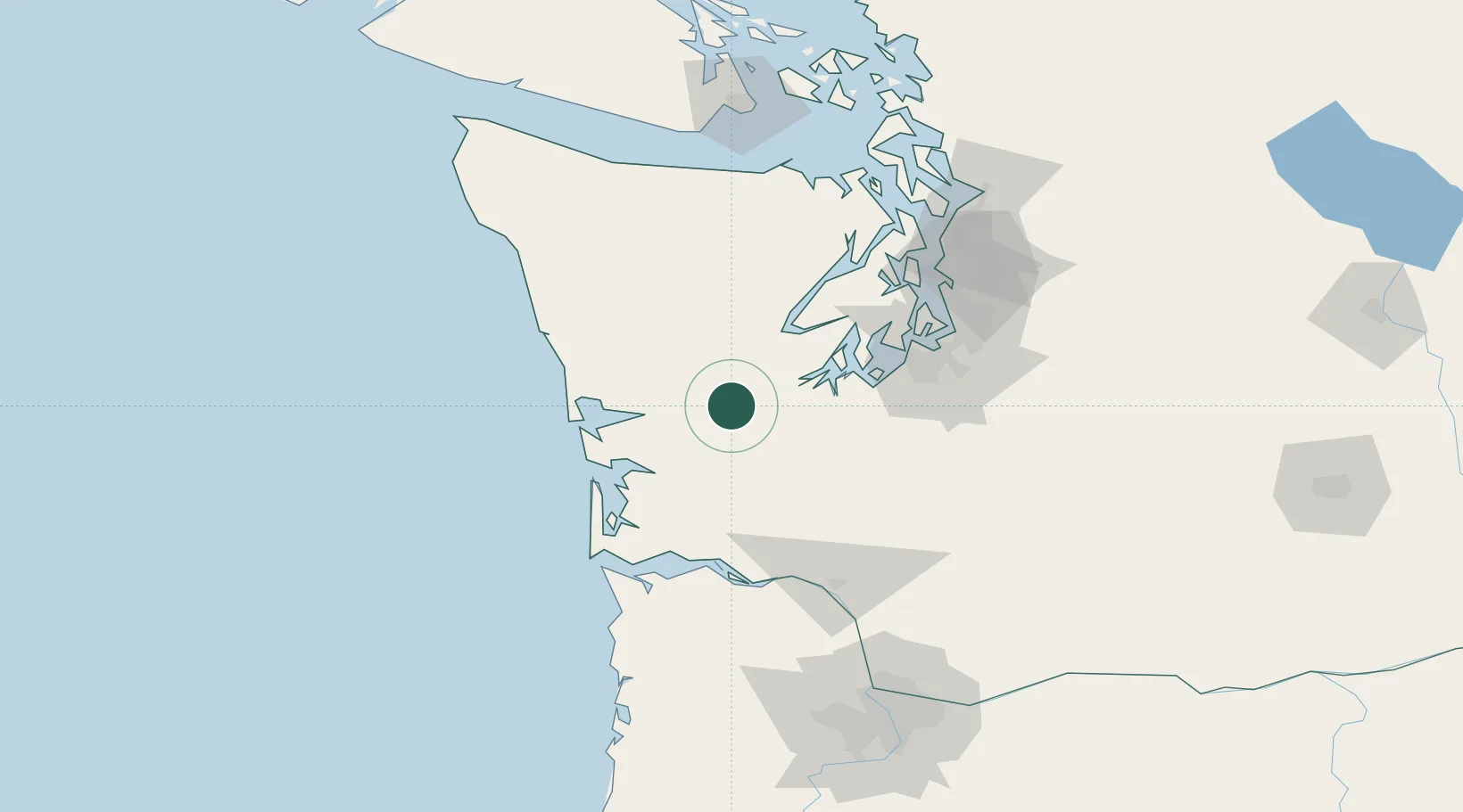
Nearby Logistics Neighbours

Cities
  1. 1Satsop5 km
  2. 2McCleary13 km
  3. 3Olympia38 km
  4. 4Grays Harbor City42 km
  5. 5Raymond43 km
Nearest neighbours — logibook spatial index (haversine) over the source coordinates
Ports
  1. 1Aberdeen32 km
  2. 2Shelton33 km
  3. 3Hoquiam38 km
  4. 4Olympia38 km
  5. 5Raymond43 km
Nearest neighbours — logibook spatial index (haversine) over the source coordinates
Airports
  1. 1Olympia Regional Airport38 km
  2. 2Bowerman Airport41 km
  3. 3Gray Army Air Field63 km
  4. 4Tacoma Narrows Airport69 km
  5. 5McChord Air Force Base72 km
Nearest neighbours — logibook spatial index (haversine) over the source coordinates
Trade Zones
  1. 1FTZ No. 216 Olympia36 km
  2. 2FTZ No. 212 Tacoma72 km
  3. 3FTZ No. 173 Grays Harbor75 km
  4. 4FTZ No. 086 Tacoma80 km
  5. 5FTZ No. 005 Seattle97 km
Nearest neighbours — logibook spatial index (haversine) over the source coordinates
DatabookThe Record of Consolidated Knowledge
United States beyond logistics?
Browse databook

All Sources

LocationsUN/LOCODE
UN/LOCODE — free
LocationsGeoNames
CC BY 4.0
Portsthe NGA World Port Index
Public domain (US gov)
AirportsOurAirports
Public domain
Trade Zonesthe World Bank SEZ database
CC BY 4.0
Trade ZonesOpen Zone Map
CC BY
← United States locations