UN/LOCODE hub · United States
USQMW
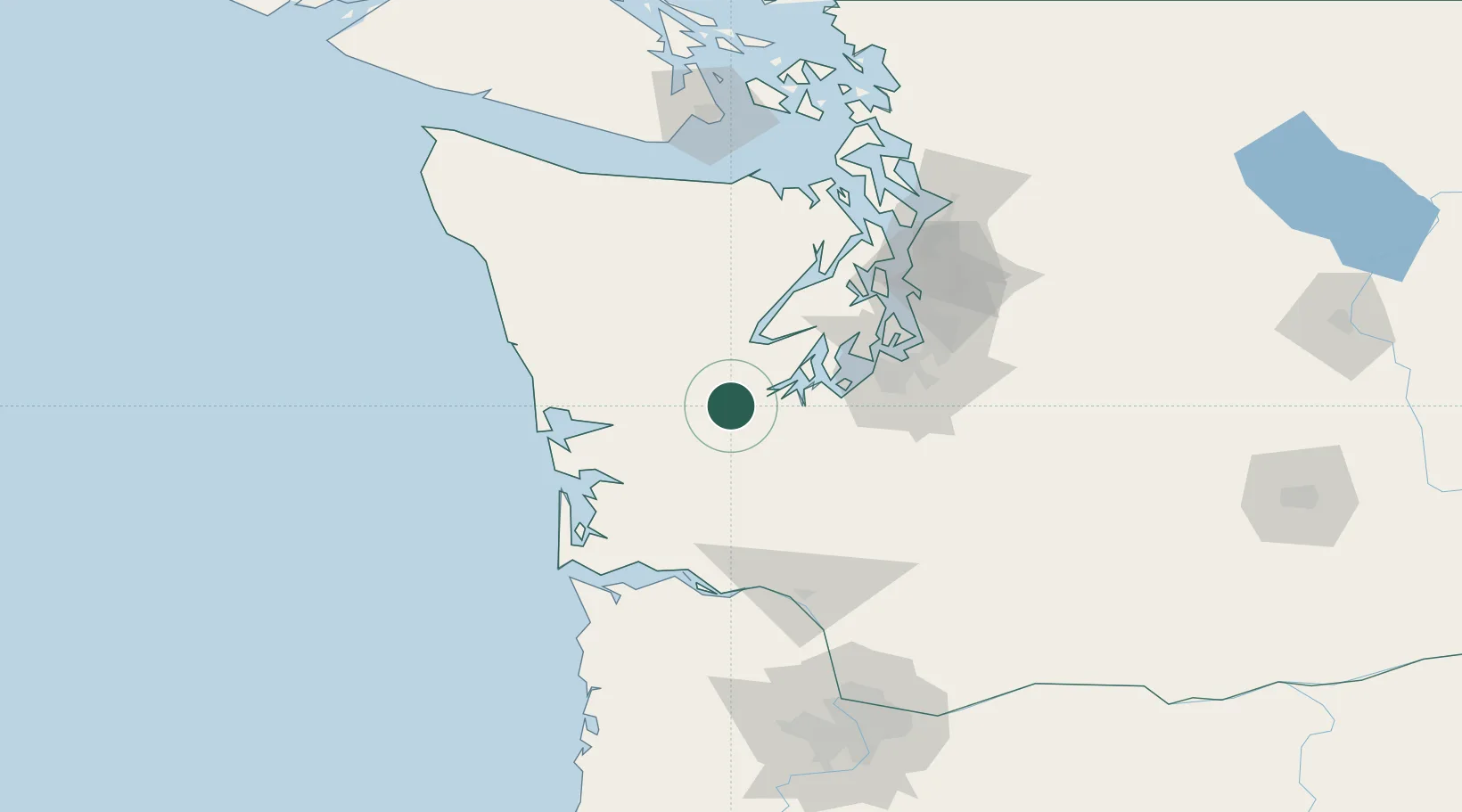
McCleary
47.0500°, -123.2500°
1,618
Population
3
Transport functions
Transport Functions
Port
Rail
Road
Hub Profile
Place type
Populated place
Region
Washington
Population
1,618
Time zone
America/Los_Angeles
Elevation
84 m
Location
Nearby Logistics Neighbours
Airports
- 1Olympia Regional Airport28 km
- 2Gray Army Air Field51 km
- 3Bowerman Airport53 km
- 4Tacoma Narrows Airport56 km
- 5McChord Air Force Base59 km
Trade Zones
- 1FTZ No. 216 Olympia24 km
- 2FTZ No. 212 Tacoma59 km
- 3FTZ No. 086 Tacoma68 km
- 4FTZ No. 173 Grays Harbor85 km
- 5FTZ No. 005 Seattle85 km
DatabookThe Record of Consolidated Knowledge
United States beyond logistics?