Transport Functions
Port
Airport
Hub Profile
Place type
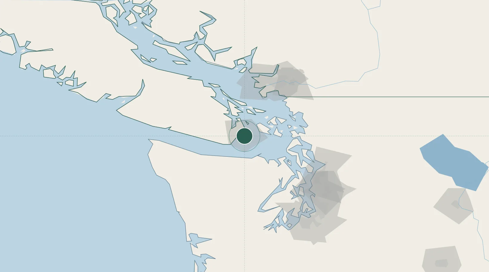
Regional capital
Region
British Columbia
Population
289,625
Time zone
America/Vancouver
Elevation
18 m
Location
Nearby Logistics Neighbours
Cities
- 1Brentwood Bay18 km
- 2Cobble Hill33 km
- 3Mengkofen41 km
- 4Duncan/Quam47 km
- 5Port Hadlock60 km
Ports
- 1Bamberton18 km
- 2Sidney24 km
- 3Roche Harbor25 km
- 4Friday Harbor27 km
- 5Port Angeles36 km
Airports
Trade Zones
- 1FTZ No. 129 Bellingham70 km
- 2FTZ No. 128 Whatcom County73 km
- 3FTZ Vancouver Island92 km
- 4FTZ No. 085 Everett97 km
- 5FTZ No. 005 Seattle112 km
DatabookThe Record of Consolidated Knowledge
Canada beyond logistics?