Seaplane base · United States
Westsound/WSX Seaplane BaseWA83
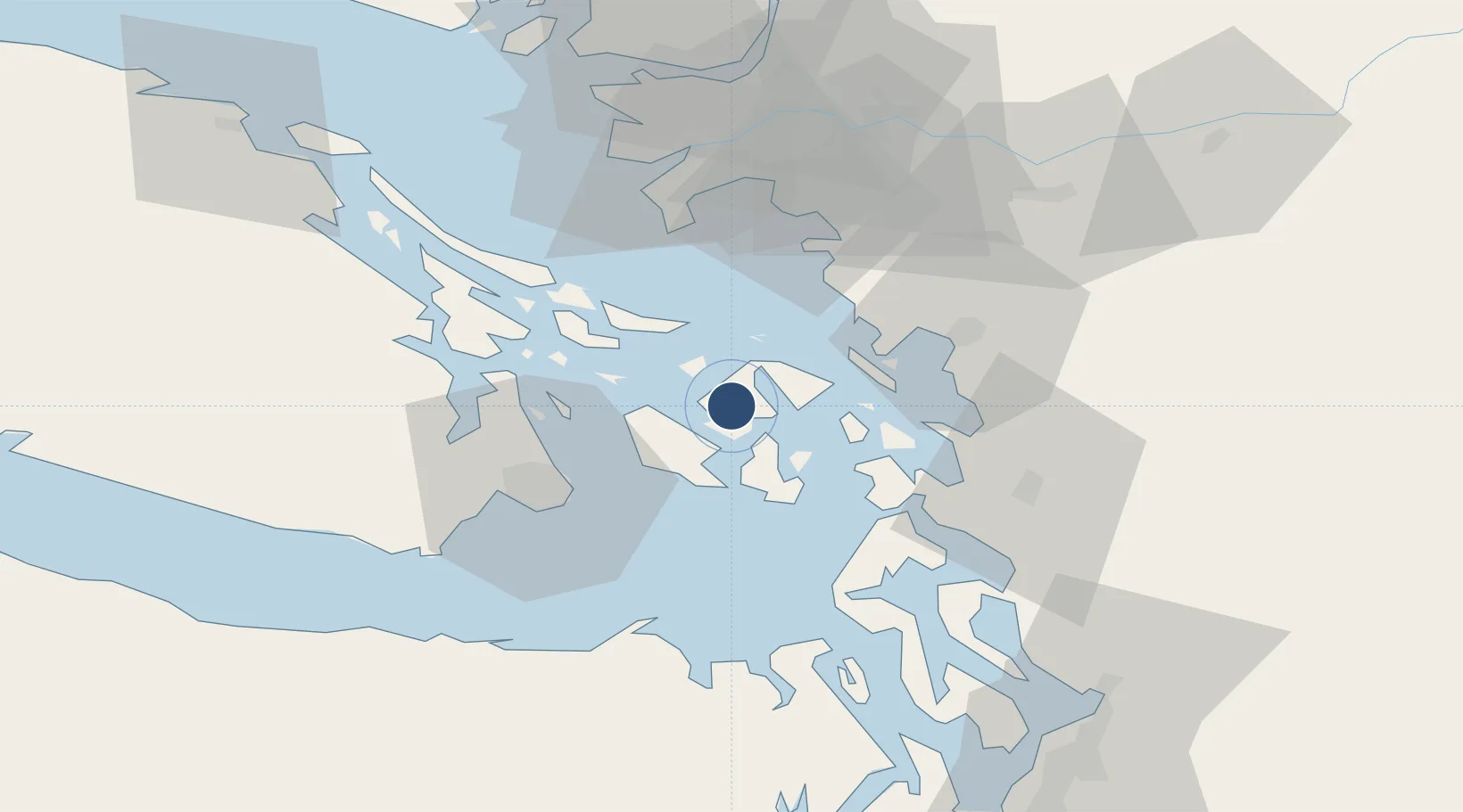
48.6179°, -122.9569°
5,000 ft
Longest runway
2
Runways
Runway & Layout

Runways · 2
| Runway | Dimensions | Surface | True heading | Lit |
|---|---|---|---|---|
| 18/36 | 5,000 × 500ft | Water | — | — |
| 10/28 | 4,000 × 500ft | Water | — | — |
Airport Specifications
IATA code
WSX
ICAO code
WA83
Airport class
Seaplane base
Scheduled service
Yes
Runway surface
Water
Served city
West Sound
Location
Nearby Logistics Neighbours
Airports
- 1Deer Harbor SPB3 km
- 2Rosario Seaplane Base7 km
- 3Friday Harbor Seaplane Base10 km
- 4Orcas Island Airport11 km
- 5Blakely Island Airport11 km
Cities
- 1Mengkofen11 km
- 2Victoria36 km
- 3Brentwood Bay37 km
- 4Bellingham39 km
- 5Custer41 km
Ports
- 1Orcas3 km
- 2Friday Harbor10 km
- 3Roche Harbor15 km
- 4Lyall Harbor27 km
- 5Anacortes27 km
Trade Zones
- 1FTZ No. 129 Bellingham35 km
- 2FTZ No. 128 Whatcom County37 km
- 3FTZ Vancouver Island71 km
- 4FTZ No. 085 Everett88 km
- 5FTZ No. 005 Seattle117 km
DatabookThe Record of Consolidated Knowledge
United States beyond logistics?