Transport Functions
Port
Road
Hub Profile
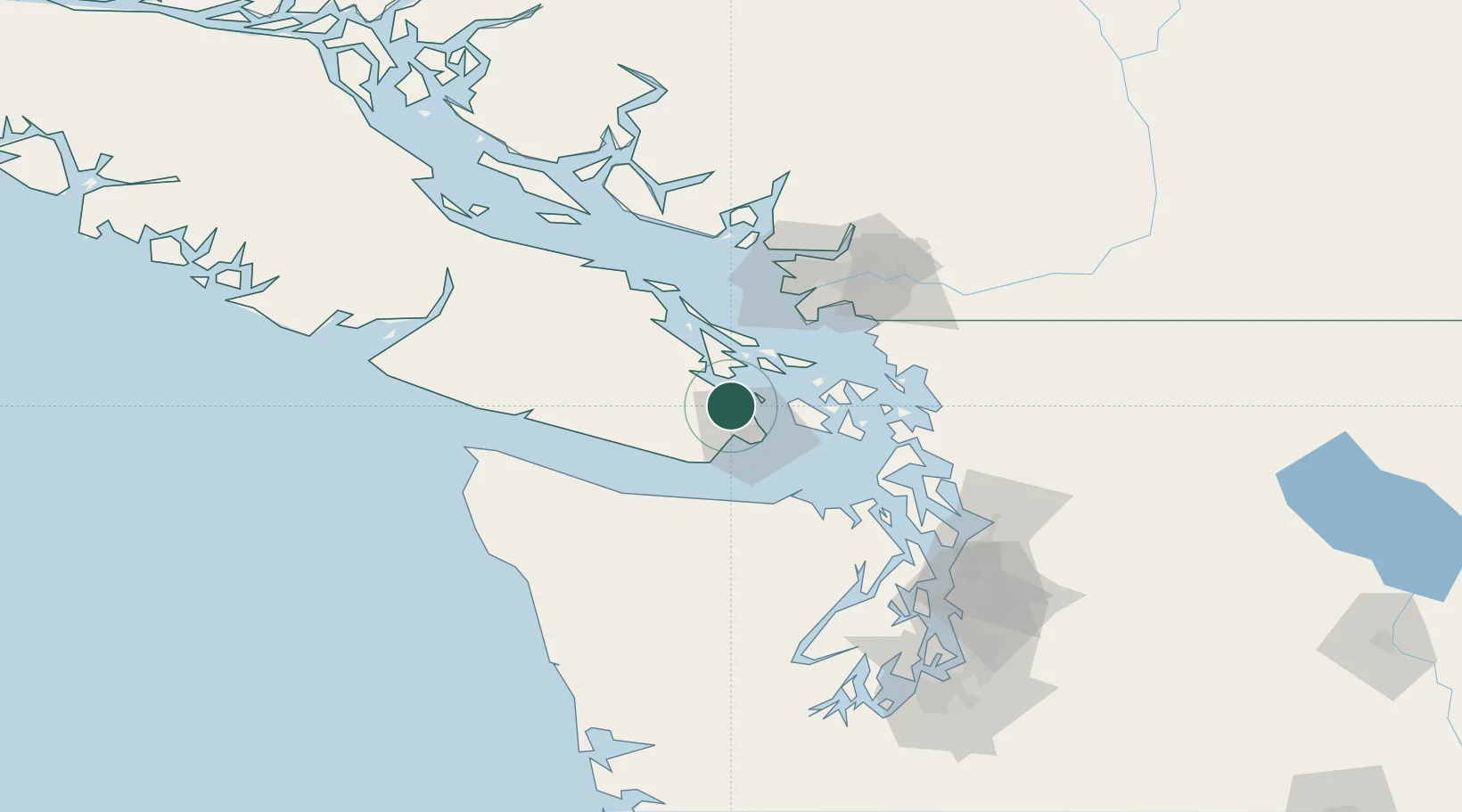
Place type
Populated place
Region
British Columbia
Population
7,581
Time zone
America/Vancouver
Elevation
91 m
Location
Nearby Logistics Neighbours
Cities
- 1Cobble Hill16 km
- 2Victoria18 km
- 3Duncan/Quam30 km
- 4Mengkofen36 km
- 5Thetis Island48 km
Ports
- 1Bamberton6 km
- 2Sidney9 km
- 3Victoria Harbor17 km
- 4Roche Harbor21 km
- 5Cowichan Bay22 km
Airports
Trade Zones
- 1FTZ No. 129 Bellingham70 km
- 2FTZ No. 128 Whatcom County71 km
- 3FTZ Vancouver Island78 km
- 4FTZ No. 085 Everett112 km
- 5FTZ No. 005 Seattle130 km
DatabookThe Record of Consolidated Knowledge
Canada beyond logistics?