Small airport · United States

Blakely Island Airport38WA

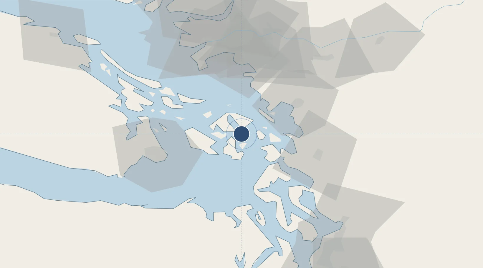
48.5792°, -122.8238°
2,200 ft
Longest runway
1
Runways
66 ft
Elevation

Runway & Layout

Blakely Island Airport runway & taxiway layout
Runway & taxiway layout — OpenStreetMap (ODbL) / OurAirports

Runways · 1

RunwayDimensions SurfaceTrue headingLit
01/19 2,200 × 40ft ASPH
OurAirports

Airport Specifications

IATA code
BYW
OurAirports
ICAO code
38WA
OurAirports
Airport class
Small airport
OurAirports
Scheduled service
Yes
OurAirports
Runway surface
ASPH
OurAirports
Served city
Blakely Island
OurAirports

Location

Location of 38WA
Natural Earth 10m (public domain) · Washington · 38WA · 48.58, -122.82GoogleOSMYandex

Nearby Logistics Neighbours

Airports
  1. 1Rosario Seaplane Base8 km
  2. 2Decatur Shores Airport9 km
  3. 3Fishermans Bay Seaplane Base10 km
  4. 4Center Island Airport10 km
  5. 5Westsound/WSX Seaplane Base11 km
Nearest neighbours — logibook spatial index (haversine) over the source coordinates
Cities
  1. 1Mengkofen20 km
  2. 2Bellingham32 km
  3. 3Custer40 km
  4. 4Mount Vernon42 km
  5. 5Victoria42 km
Nearest neighbours — logibook spatial index (haversine) over the source coordinates
Ports
  1. 1Orcas8 km
  2. 2Friday Harbor15 km
  3. 3Anacortes17 km
  4. 4Roche Harbor26 km
  5. 5Bellingham30 km
Nearest neighbours — logibook spatial index (haversine) over the source coordinates
Trade Zones
  1. 1FTZ No. 129 Bellingham29 km
  2. 2FTZ No. 128 Whatcom County33 km
  3. 3FTZ Vancouver Island77 km
  4. 4FTZ No. 085 Everett78 km
  5. 5FTZ No. 005 Seattle110 km
Nearest neighbours — logibook spatial index (haversine) over the source coordinates
DatabookThe Record of Consolidated Knowledge
United States beyond logistics?
Browse databook

All Sources

AirportsOurAirports
Public domain
Portsthe NGA World Port Index
Public domain (US gov)
LocationsUN/LOCODE
UN/LOCODE — free
Trade Zonesthe World Bank SEZ database
CC BY 4.0
Trade ZonesOpen Zone Map
CC BY
InfrastructureOpenStreetMap
ODbL 1.0
← United States airports