Seaplane base · United States

Deer Harbor SPBDHB

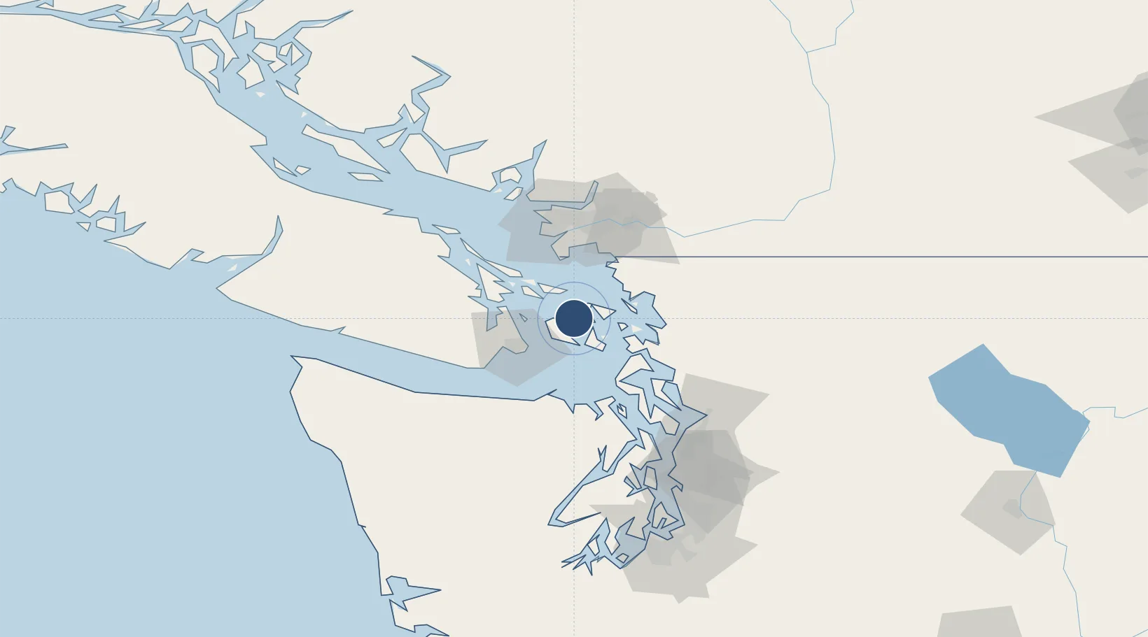
48.6167°, -123.0028°
4,001 ft
Longest runway
1
Runways
0 ft
Elevation

Runway & Layout

Deer Harbor SPB runway & taxiway layout
Runway & taxiway layout — OpenStreetMap (ODbL) / OurAirports

Runways · 1

RunwayDimensions SurfaceTrue headingLit
18W/36W 4,001 × 500ft WAT
OurAirports

Airport Specifications

IATA code
DHB
OurAirports
ICAO code
88WA
OurAirports
Airport class
Seaplane base
OurAirports
Scheduled service
Yes
OurAirports
Runway surface
WAT
OurAirports
Served city
Deer Harbor
OurAirports

Location

Location of DHB
Natural Earth 10m (public domain) · Washington · DHB · 48.62, -123.00GoogleOSMYandex

Nearby Logistics Neighbours

Airports
  1. 1Westsound/WSX Seaplane Base3 km
  2. 2Friday Harbor Seaplane Base9 km
  3. 3Roche Harbor Airport10 km
  4. 4Rosario Seaplane Base10 km
  5. 5Friday Harbor Airport11 km
Nearest neighbours — logibook spatial index (haversine) over the source coordinates
Cities
  1. 1Mengkofen11 km
  2. 2Victoria33 km
  3. 3Brentwood Bay33 km
  4. 4Point Roberts41 km
  5. 5Bellingham42 km
Nearest neighbours — logibook spatial index (haversine) over the source coordinates
Ports
  1. 1Orcas5 km
  2. 2Friday Harbor9 km
  3. 3Roche Harbor12 km
  4. 4Lyall Harbor25 km
  5. 5Sidney28 km
Nearest neighbours — logibook spatial index (haversine) over the source coordinates
Trade Zones
  1. 1FTZ No. 129 Bellingham38 km
  2. 2FTZ No. 128 Whatcom County40 km
  3. 3FTZ Vancouver Island71 km
  4. 4FTZ No. 085 Everett90 km
  5. 5FTZ No. 005 Seattle118 km
Nearest neighbours — logibook spatial index (haversine) over the source coordinates
DatabookThe Record of Consolidated Knowledge
United States beyond logistics?
Browse databook

All Sources

AirportsOurAirports
Public domain
Portsthe NGA World Port Index
Public domain (US gov)
LocationsUN/LOCODE
UN/LOCODE — free
Trade Zonesthe World Bank SEZ database
CC BY 4.0
Trade ZonesOpen Zone Map
CC BY
InfrastructureOpenStreetMap
ODbL 1.0
← United States airports