Seaplane base · United States

Friday Harbor Seaplane BaseW33

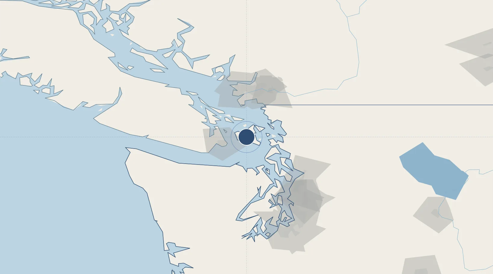
48.5373°, -123.0100°
10,000 ft
Longest runway
2
Runways

Runway & Layout

Friday Harbor Seaplane Base runway & taxiway layout
Runway & taxiway layout — OpenStreetMap (ODbL) / OurAirports

Runways · 2

RunwayDimensions SurfaceTrue headingLit
03/21 10,000 × 2000ft Water
12/30 6,000 × 1000ft Water
OurAirports

Airport Specifications

IATA code
FBS
OurAirports
ICAO code
W33
OurAirports
Airport class
Seaplane base
OurAirports
Scheduled service
Yes
OurAirports
Runway surface
Water
OurAirports
Served city
Friday Harbor
OurAirports

Location

Location of W33
Natural Earth 10m (public domain) · Washington · W33 · 48.54, -123.01GoogleOSMYandex

Nearby Logistics Neighbours

Airports
  1. 1Friday Harbor Airport2 km
  2. 2Fishermans Bay Seaplane Base7 km
  3. 3Lopez Island Airport8 km
  4. 4Deer Harbor SPB9 km
  5. 5Westsound/WSX Seaplane Base10 km
Nearest neighbours — logibook spatial index (haversine) over the source coordinates
Cities
  1. 1Mengkofen20 km
  2. 2Victoria28 km
  3. 3Brentwood Bay33 km
  4. 4Bellingham46 km
  5. 5Cobble Hill46 km
Nearest neighbours — logibook spatial index (haversine) over the source coordinates
Ports
  1. 1Friday Harbor1 km
  2. 2Orcas9 km
  3. 3Roche Harbor15 km
  4. 4Anacortes29 km
  5. 5Victoria Harbor30 km
Nearest neighbours — logibook spatial index (haversine) over the source coordinates
Trade Zones
  1. 1FTZ No. 129 Bellingham43 km
  2. 2FTZ No. 128 Whatcom County46 km
  3. 3FTZ Vancouver Island79 km
  4. 4FTZ No. 085 Everett84 km
  5. 5FTZ No. 005 Seattle110 km
Nearest neighbours — logibook spatial index (haversine) over the source coordinates
DatabookThe Record of Consolidated Knowledge
United States beyond logistics?
Browse databook

All Sources

AirportsOurAirports
Public domain
Portsthe NGA World Port Index
Public domain (US gov)
LocationsUN/LOCODE
UN/LOCODE — free
Trade Zonesthe World Bank SEZ database
CC BY 4.0
Trade ZonesOpen Zone Map
CC BY
InfrastructureOpenStreetMap
ODbL 1.0
← United States airports