Channel & Berth Profile
Pilotage, Tugs & Services
Tug assistanceNO
Salvage tugsNO
Shore powerYES
Potable waterYES
Diesel bunkersYES
Facilities & Capabilities
Container—
Ro-Ro—
Liquid bulk—
Dry bulk—
Oil terminal—
Break bulk—
Dry dock—
RepairsNO
BunkeringYES
Rail link—
Dangerous cargo—
ISPS security—
Harbour Specifications
Harbour size
Very Small
Harbour type
River (Natural)
Shelter
Fair
Water body
North Atlantic Ocean
Tidal range
3.7 m
Overhead limit
Yes
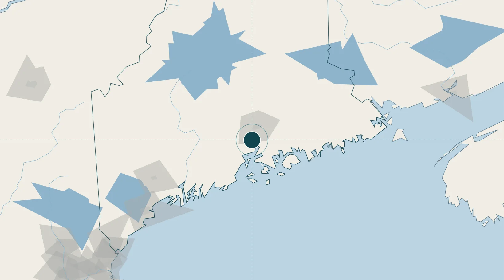
Location
Nearby Logistics Neighbours
Ports
- 1Bucksport9 km
- 2Sandypoint13 km
- 3Bangor20 km
- 4Searsport21 km
- 5Belfast27 km
Airports
- 1Bangor International Airport19 km
- 2Islesboro Airport37 km
- 3Hancock County-Bar Harbor Airport44 km
- 4Witherspoons Airport54 km
- 5Vinalhaven Airport62 km
Trade Zones
- 1FTZ No. 058 Bangor20 km
- 2FTZ No. 186 Waterville68 km
- 3FTZ No. 263 Auburn123 km
- 4Saint John230 km
- 5FTZ No. 081 Portsmouth237 km
DatabookThe Record of Consolidated Knowledge
United States beyond logistics?