Medium airport · United States
Hancock County-Bar Harbor AirportKBHB
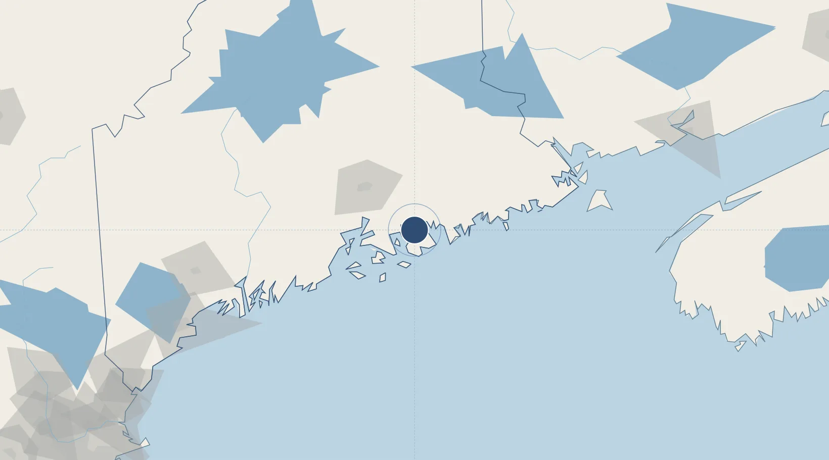
44.4500°, -68.3615°
5,200 ft
Longest runway
2
Runways
83 ft
Elevation
Runway & Layout

Radio Frequencies
AWOS
118.025 MHz
AWOS 3
CLD
119.9 MHz
CLNC DEL
A/D
124.5 MHz
BANGOR APP/DEP
UNIC
123 MHz
CTAF/UNICOM
Runways · 2
| Runway | Dimensions | Surface | True heading | Lit |
|---|---|---|---|---|
| 04/22 | 5,200 × 100ft | Asphalt | 024° | ✓ |
| 17/35 | 3,363 × 75ft | Asphalt | 151° | — |
Airport Specifications
IATA code
BHB
ICAO code
KBHB
Airport class
Medium airport
Scheduled service
Yes
Runway surface
Asphalt
Served city
Bar Harbor
Location
Nearby Logistics Neighbours
Airports
- 1Islesboro Airport47 km
- 2Witherspoons Airport53 km
- 3Bangor International Airport54 km
- 4Vinalhaven Airport56 km
- 5Knox County Regional Airport73 km
Cities
- 1Ellsworth10 km
- 2Hancock12 km
- 3Little Deer Isle32 km
- 4Cherryfield39 km
- 5Harrington47 km
Ports
- 1Mount Desert10 km
- 2Ellsworth12 km
- 3Sorrento14 km
- 4Bar Harbor15 km
- 5Southwest Harbor19 km
Trade Zones
- 1FTZ No. 058 Bangor54 km
- 2FTZ No. 186 Waterville107 km
- 3FTZ No. 263 Auburn152 km
- 4Saint John203 km
- 5FTZ No. 081 Portsmouth253 km
DatabookThe Record of Consolidated Knowledge
United States beyond logistics?