Channel & Berth Profile
Pilotage, Tugs & Services
Pilotage compulsoryYES
Tug assistanceNO
Salvage tugsNO
Diesel bunkersYES
Facilities & Capabilities
Container—
Ro-Ro—
Liquid bulk—
Dry bulk—
Oil terminal—
Break bulk—
Dry dock—
Repairs—
BunkeringYES
Rail link—
Dangerous cargo—
ISPS security—
Harbour Specifications
Harbour size
Very Small
Harbour type
River (Natural)
Shelter
Fair
Water body
North Atlantic Ocean
Tidal range
3.4 m
Overhead limit
Yes
Pilotage
Yes
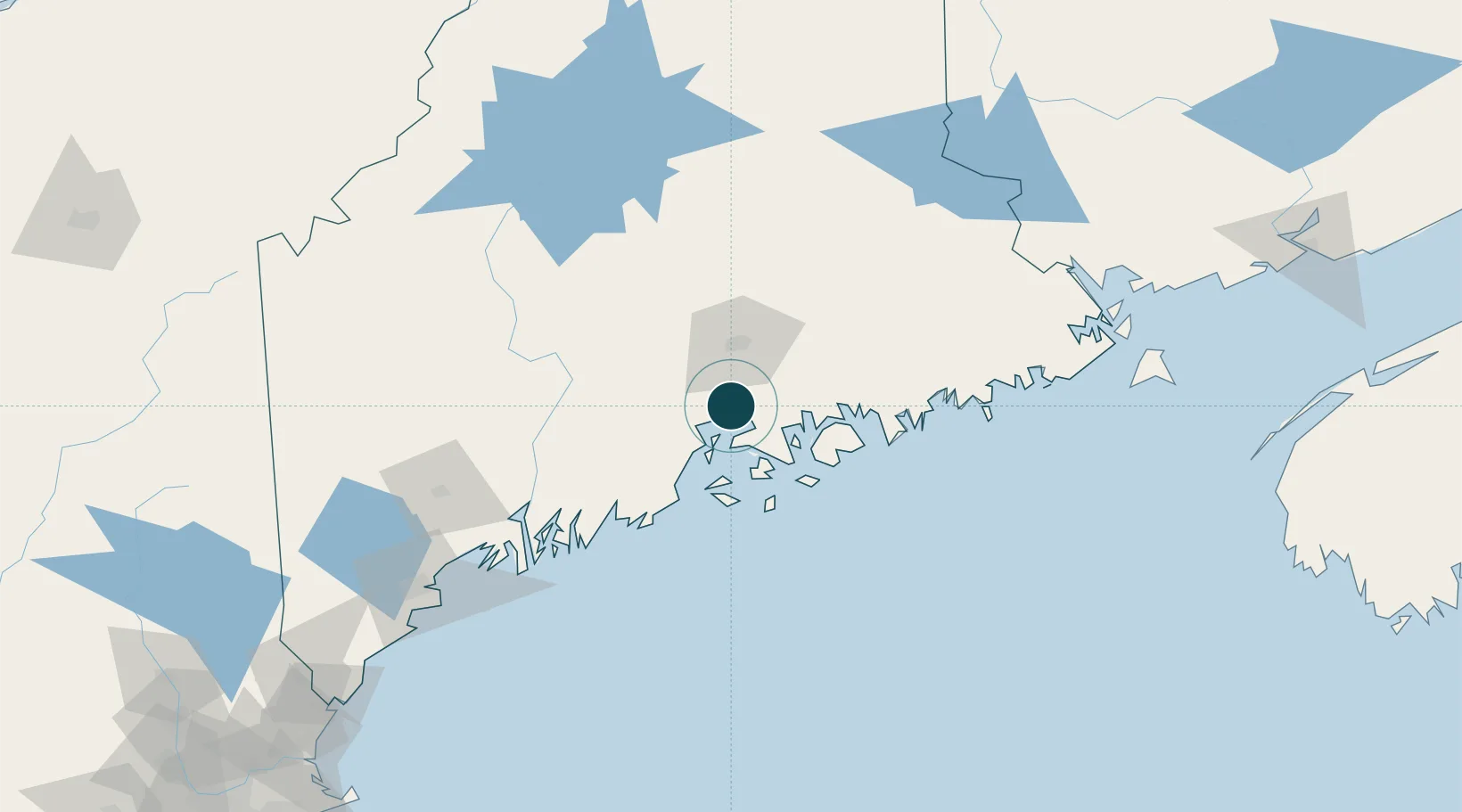
Location
Nearby Logistics Neighbours
Ports
- 1Bucksport6 km
- 2Searsport11 km
- 3Winterport13 km
- 4Castine16 km
- 5Belfast18 km
Cities
- 1Waldo20 km
- 2Little Deer Isle28 km
- 3Ellsworth32 km
- 4Hermon32 km
- 5Eddington35 km
Airports
- 1Islesboro Airport25 km
- 2Bangor International Airport32 km
- 3Hancock County-Bar Harbor Airport37 km
- 4Witherspoons Airport41 km
- 5Vinalhaven Airport49 km
Trade Zones
- 1FTZ No. 058 Bangor32 km
- 2FTZ No. 186 Waterville70 km
- 3FTZ No. 263 Auburn120 km
- 4FTZ No. 081 Portsmouth230 km
- 5Saint John232 km
DatabookThe Record of Consolidated Knowledge
United States beyond logistics?