Medium airport · United States
Bangor International AirportKBGR
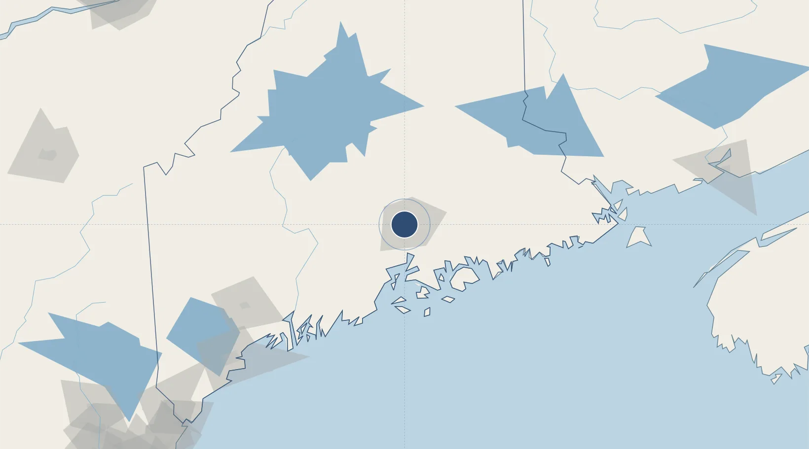
44.8064°, -68.8267°
11,440 ft
Longest runway
1
Runways
192 ft
Elevation
Runway & Layout

Radio Frequencies
ATIS
127.75 MHz
ASOS
127.75 MHz
TWR
120.7 MHz
GND
121.9 MHz
CLD
135.9 MHz
CLNC DEL
A/D
118.925 MHz
APP/DEP
MISC
41.2 MHz
ARNG OPS
OPS
31.1 MHz
ANG OPS
RDO
122.2 MHz
UNIC
122.95 MHz
UNICOM
Navaids
BG NDB Totte 227 kHz
BGR VORTAC Bangor 114.80 MHz
Runways · 1
| Runway | Dimensions | Surface | True heading | Lit |
|---|---|---|---|---|
| 15/33 | 11,440 × 200ft | Asphalt | 134° | ✓ |
Airport Specifications
IATA code
BGR
ICAO code
KBGR
Airport class
Medium airport
Scheduled service
Yes
Runway surface
Asphalt
Served city
Bangor
Location
Nearby Logistics Neighbours
Airports
- 1Hancock County-Bar Harbor Airport54 km
- 2Islesboro Airport56 km
- 3Witherspoons Airport73 km
- 4Vinalhaven Airport82 km
- 5Knox County Regional Airport86 km
Ports
- 1Bangor5 km
- 2Winterport19 km
- 3Bucksport27 km
- 4Sandypoint32 km
- 5Searsport40 km
Trade Zones
- 1FTZ No. 058 Bangor1 km
- 2FTZ No. 186 Waterville75 km
- 3FTZ No. 263 Auburn135 km
- 4Saint John223 km
- 5FTZ No. 081 Portsmouth253 km
DatabookThe Record of Consolidated Knowledge
United States beyond logistics?