Channel & Berth Profile
Pilotage, Tugs & Services
Pilotage compulsoryYES
Pilotage advisableYES
Tug assistanceYES
Salvage tugsNO
Potable waterYES
Diesel bunkersYES
MedicalYES
Facilities & Capabilities
Container—
Ro-Ro—
Liquid bulk—
Dry bulk—
Oil terminal—
Break bulk—
Dry dock—
RepairsNO
BunkeringYES
Rail linkYES
Dangerous cargo—
ISPS security—
Harbour Specifications
Harbour size
Very Small
Harbour type
River (Natural)
Shelter
Good
Water body
North Atlantic Ocean
Tidal range
3.4 m
Overhead limit
Yes
Pilotage
Yes
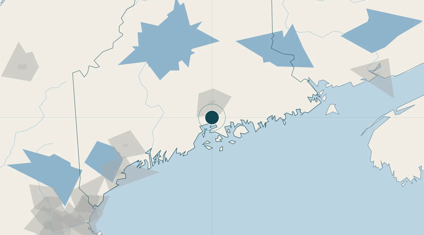
Location
Nearby Logistics Neighbours
Ports
- 1Sandypoint6 km
- 2Winterport9 km
- 3Searsport17 km
- 4Castine21 km
- 5Belfast24 km
Cities
- 1Waldo24 km
- 2Hermon27 km
- 3Eddington29 km
- 4Ellsworth29 km
- 5Little Deer Isle33 km
Airports
- 1Bangor International Airport27 km
- 2Islesboro Airport31 km
- 3Hancock County-Bar Harbor Airport36 km
- 4Witherspoons Airport47 km
- 5Vinalhaven Airport55 km
Trade Zones
- 1FTZ No. 058 Bangor27 km
- 2FTZ No. 186 Waterville73 km
- 3FTZ No. 263 Auburn125 km
- 4Saint John228 km
- 5FTZ No. 081 Portsmouth236 km
DatabookThe Record of Consolidated Knowledge
United States beyond logistics?