Channel & Berth Profile
Pilotage, Tugs & Services
Tug assistanceYES
Salvage tugsNO
Potable waterYES
Diesel bunkersYES
MedicalYES
Facilities & Capabilities
Container—
Ro-Ro—
Liquid bulk—
Dry bulk—
Oil terminal—
Break bulk—
Dry dock—
RepairsNO
BunkeringYES
Rail linkYES
Dangerous cargo—
ISPS security—
Harbour Specifications
Harbour size
Small
Harbour type
River (Natural)
Shelter
Good
Water body
North Atlantic Ocean
Tidal range
3 m
Overhead limit
Yes
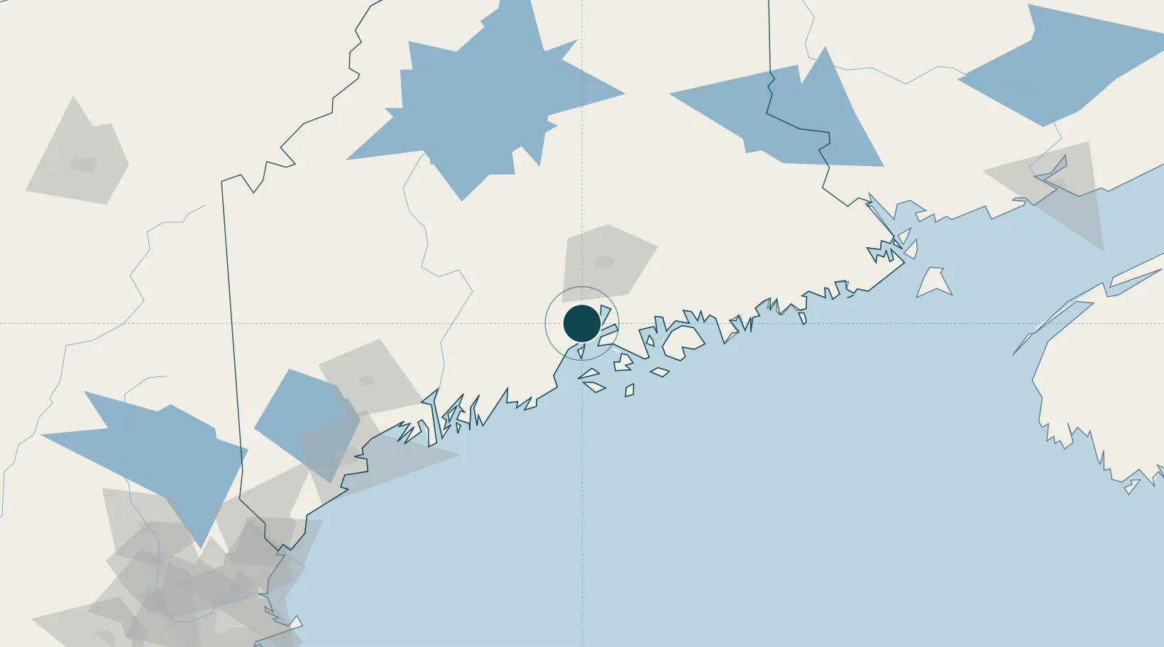
Location
Nearby Logistics Neighbours
Ports
- 1Belfast8 km
- 2Sandypoint11 km
- 3Castine16 km
- 4Bucksport17 km
- 5Winterport21 km
Cities
- 1Waldo13 km
- 2Little Deer Isle26 km
- 3Camden30 km
- 4Rockport33 km
- 5Unity37 km
Airports
- 1Islesboro Airport16 km
- 2Witherspoons Airport33 km
- 3Bangor International Airport40 km
- 4Vinalhaven Airport43 km
- 5Hancock County-Bar Harbor Airport44 km
Trade Zones
- 1FTZ No. 058 Bangor41 km
- 2FTZ No. 186 Waterville63 km
- 3FTZ No. 263 Auburn110 km
- 4FTZ No. 081 Portsmouth219 km
- 5Saint John243 km
DatabookThe Record of Consolidated Knowledge
United States beyond logistics?