Transport Functions
Rail
Road
Hub Profile
Place type
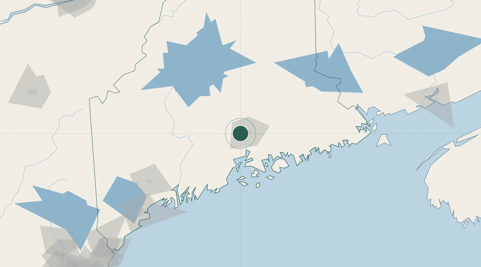
Populated place
Region
Maine
Population
4,909
Time zone
America/New_York
Elevation
57 m
Location
Nearby Logistics Neighbours
Cities
- 1Eddington16 km
- 2Corinth22 km
- 3Newport32 km
- 4Waldo36 km
- 5Pittsfield40 km
Ports
- 1Bangor9 km
- 2Winterport19 km
- 3Bucksport27 km
- 4Sandypoint32 km
- 5Searsport39 km
Airports
- 1Bangor International Airport5 km
- 2Islesboro Airport55 km
- 3Hancock County-Bar Harbor Airport57 km
- 4Witherspoons Airport72 km
- 5Vinalhaven Airport81 km
Trade Zones
- 1FTZ No. 058 Bangor5 km
- 2FTZ No. 186 Waterville71 km
- 3FTZ No. 263 Auburn131 km
- 4Saint John227 km
- 5FTZ No. 081 Portsmouth250 km
DatabookThe Record of Consolidated Knowledge
United States beyond logistics?