Channel & Berth Profile
Pilotage, Tugs & Services
Pilotage compulsoryYES
Tug assistanceYES
Salvage tugsNO
Potable waterYES
Diesel bunkersYES
MedicalYES
Facilities & Capabilities
Container—
Ro-Ro—
Liquid bulk—
Dry bulk—
Oil terminal—
Break bulk—
Dry dock—
RepairsNO
BunkeringYES
Rail linkYES
Dangerous cargo—
ISPS security—
Harbour Specifications
Harbour size
Very Small
Harbour type
River (Natural)
Shelter
Fair
Water body
North Atlantic Ocean
Tidal range
3 m
Overhead limit
Yes
Pilotage
Yes
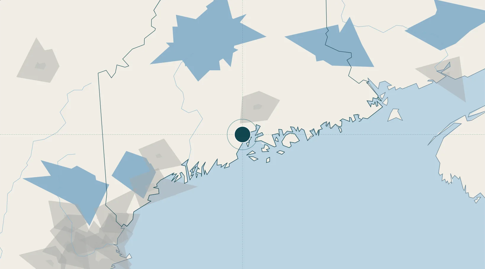
Location
Nearby Logistics Neighbours
Ports
- 1Searsport8 km
- 2Sandypoint18 km
- 3Castine22 km
- 4Camden23 km
- 5Bucksport24 km
Cities
- 1Waldo11 km
- 2Camden24 km
- 3Rockport27 km
- 4Little Deer Isle29 km
- 5Union32 km
Airports
- 1Islesboro Airport15 km
- 2Witherspoons Airport31 km
- 3Knox County Regional Airport40 km
- 4Vinalhaven Airport41 km
- 5Bangor International Airport46 km
Trade Zones
- 1FTZ No. 058 Bangor46 km
- 2FTZ No. 186 Waterville57 km
- 3FTZ No. 263 Auburn103 km
- 4FTZ No. 081 Portsmouth212 km
- 5Saint John250 km
DatabookThe Record of Consolidated Knowledge
United States beyond logistics?