UN/LOCODE hub · United States
USUHI

Unity

44.6000°, -69.3333°
469
Population
3
Transport functions

Transport Functions

Port
Rail
Road
UN/LOCODE

Hub Profile

Place type
Populated place
GeoNames
Region
Maine
GeoNames
Population
469
GeoNames
Time zone
America/New_York
GeoNames
Elevation
67 m
GeoNames

Location

Location of USUHI
Natural Earth 10m (public domain) · Maine · USUHI · 44.60, -69.33GoogleOSMYandex

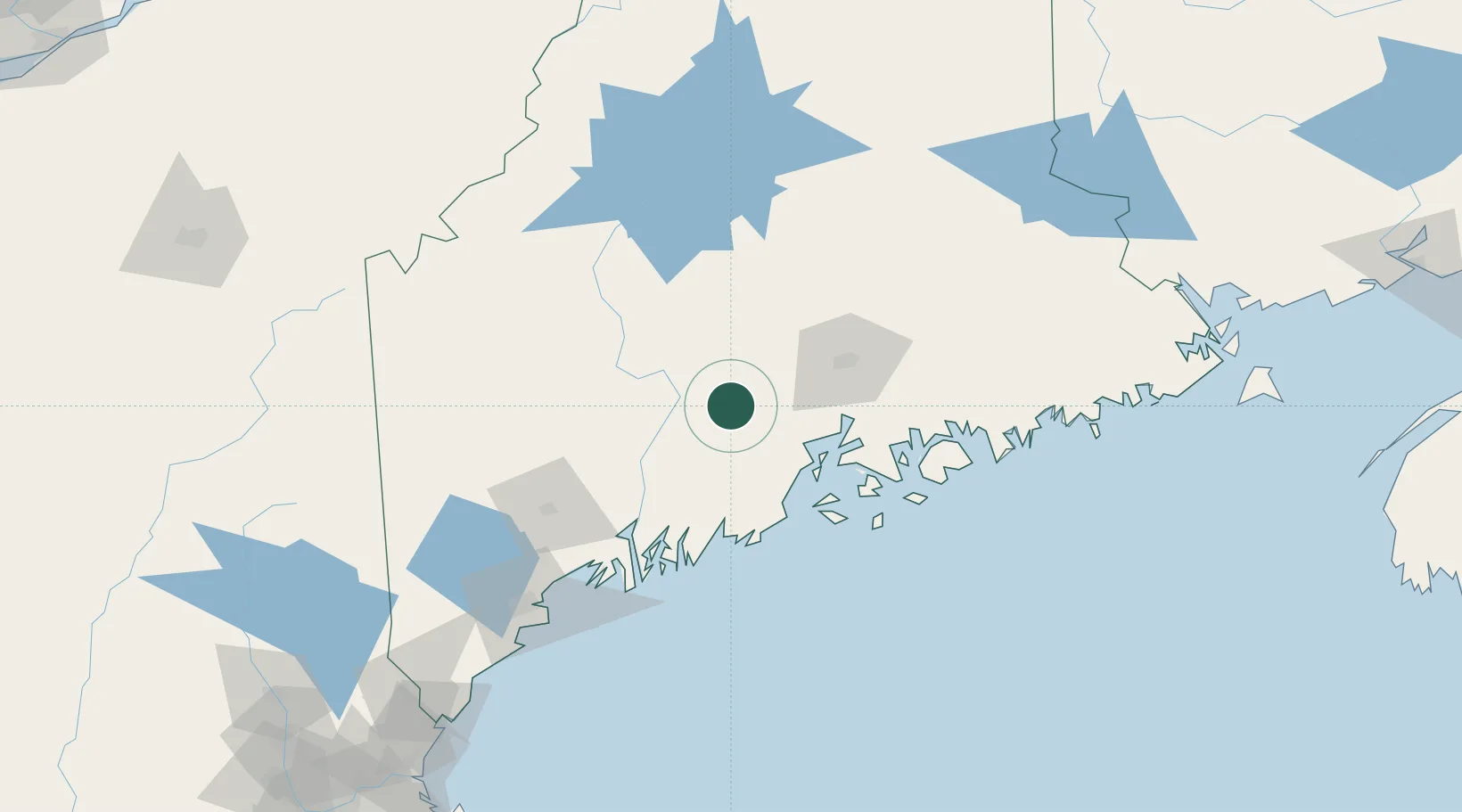
Nearby Logistics Neighbours

Cities
  1. 1Burnham12 km
  2. 2Fairfield20 km
  3. 3Pittsfield21 km
  4. 4Waldo24 km
  5. 5North Vassalboro26 km
Nearest neighbours — logibook spatial index (haversine) over the source coordinates
Ports
  1. 1Belfast33 km
  2. 2Searsport37 km
  3. 3Winterport38 km
  4. 4Sandypoint42 km
  5. 5Bucksport44 km
Nearest neighbours — logibook spatial index (haversine) over the source coordinates
Airports
  1. 1Bangor International Airport46 km
  2. 2Islesboro Airport47 km
  3. 3Augusta State Airport48 km
  4. 4Witherspoons Airport62 km
  5. 5Knox County Regional Airport63 km
Nearest neighbours — logibook spatial index (haversine) over the source coordinates
Trade Zones
  1. 1FTZ No. 186 Waterville30 km
  2. 2FTZ No. 058 Bangor47 km
  3. 3FTZ No. 263 Auburn89 km
  4. 4FTZ No. 081 Portsmouth210 km
  5. 5Saint John268 km
Nearest neighbours — logibook spatial index (haversine) over the source coordinates
DatabookThe Record of Consolidated Knowledge
United States beyond logistics?
Browse databook

All Sources

LocationsUN/LOCODE
UN/LOCODE — free
LocationsGeoNames
CC BY 4.0
Portsthe NGA World Port Index
Public domain (US gov)
AirportsOurAirports
Public domain
Trade Zonesthe World Bank SEZ database
CC BY 4.0
Trade ZonesOpen Zone Map
CC BY
← United States locations