UN/LOCODE hub · United States
USE2D
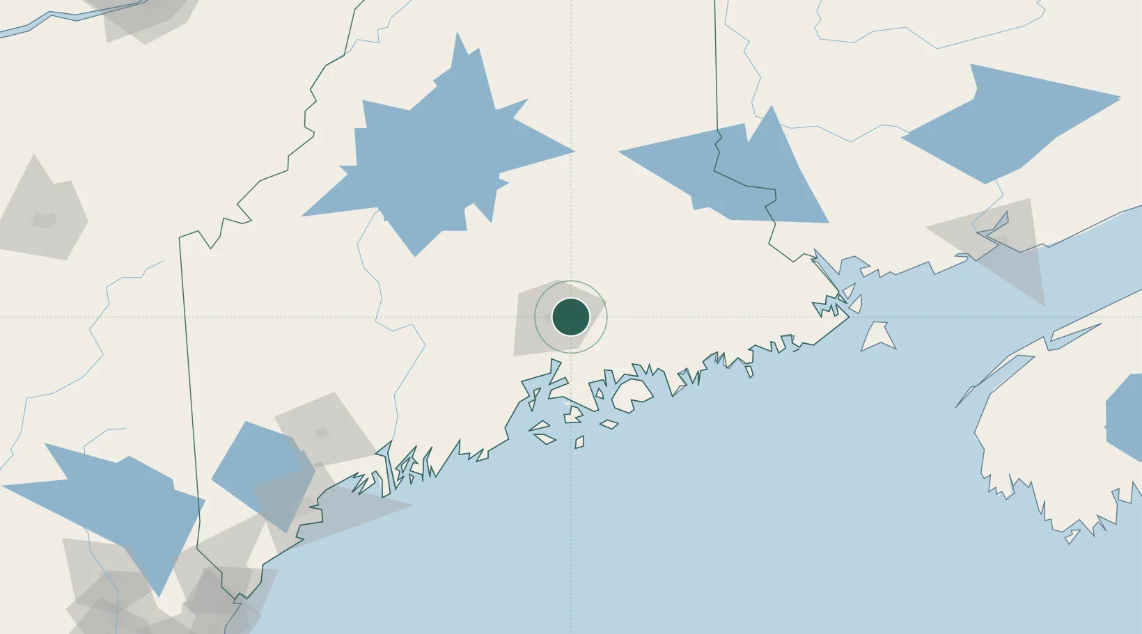
Eddington
44.8167°, -68.6833°
2,133
Population
1
Transport functions
Transport Functions
Port
Hub Profile
Place type
Populated place
Region
Maine
Population
2,133
Time zone
America/New_York
Elevation
22 m
Location
Nearby Logistics Neighbours
Ports
- 1Bangor7 km
- 2Winterport24 km
- 3Bucksport29 km
- 4Sandypoint35 km
- 5Ellsworth36 km
Airports
- 1Bangor International Airport11 km
- 2Hancock County-Bar Harbor Airport48 km
- 3Islesboro Airport60 km
- 4Witherspoons Airport76 km
- 5Vinalhaven Airport83 km
Trade Zones
- 1FTZ No. 058 Bangor11 km
- 2FTZ No. 186 Waterville86 km
- 3FTZ No. 263 Auburn145 km
- 4Saint John212 km
- 5FTZ No. 081 Portsmouth261 km
DatabookThe Record of Consolidated Knowledge
United States beyond logistics?