Transport Functions
Rail
Road
Hub Profile
Place type
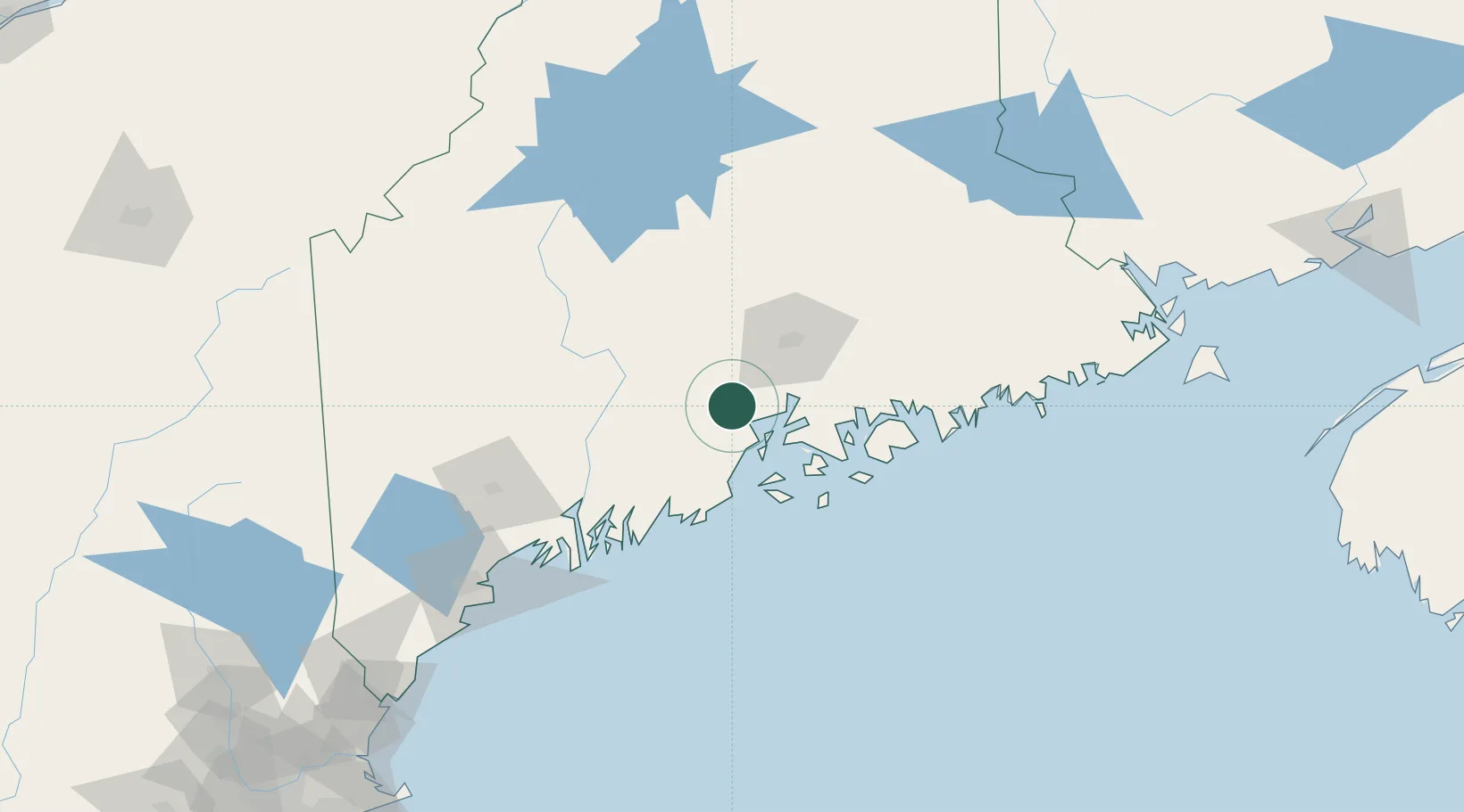
Populated place
Region
Maine
Population
762
Time zone
America/New_York
Elevation
79 m
Location
Nearby Logistics Neighbours
Ports
- 1Belfast11 km
- 2Searsport13 km
- 3Sandypoint20 km
- 4Winterport23 km
- 5Bucksport24 km
Airports
- 1Islesboro Airport25 km
- 2Bangor International Airport39 km
- 3Witherspoons Airport42 km
- 4Knox County Regional Airport49 km
- 5Vinalhaven Airport51 km
Trade Zones
- 1FTZ No. 058 Bangor40 km
- 2FTZ No. 186 Waterville50 km
- 3FTZ No. 263 Auburn101 km
- 4FTZ No. 081 Portsmouth215 km
- 5Saint John251 km
DatabookThe Record of Consolidated Knowledge
United States beyond logistics?