UN/LOCODE hub · United States
USESR
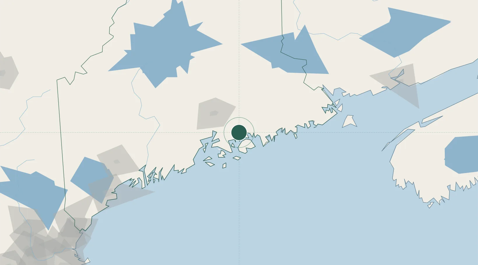
Ellsworth
44.5333°, -68.4167°
7,857
Population
3
Transport functions
Transport Functions
Rail
Road
Multimodal
Hub Profile
Place type
Provincial seat
Region
Maine
Population
7,857
Time zone
America/New_York
Elevation
33 m
Location
Nearby Logistics Neighbours
Cities
- 1Hancock13 km
- 2Little Deer Isle35 km
- 3Eddington38 km
- 4Cherryfield40 km
- 5Hermon47 km
Ports
- 1Mount Desert20 km
- 2Sorrento20 km
- 3Bar Harbor24 km
- 4Southwest Harbor29 km
- 5Bucksport29 km
Airports
- 1Hancock County-Bar Harbor Airport10 km
- 2Bangor International Airport44 km
- 3Islesboro Airport47 km
- 4Witherspoons Airport56 km
- 5Vinalhaven Airport60 km
Trade Zones
- 1FTZ No. 058 Bangor44 km
- 2FTZ No. 186 Waterville102 km
- 3FTZ No. 263 Auburn151 km
- 4Saint John203 km
- 5FTZ No. 081 Portsmouth255 km
DatabookThe Record of Consolidated Knowledge
United States beyond logistics?