Small airport · United States

Vinalhaven AirportME55
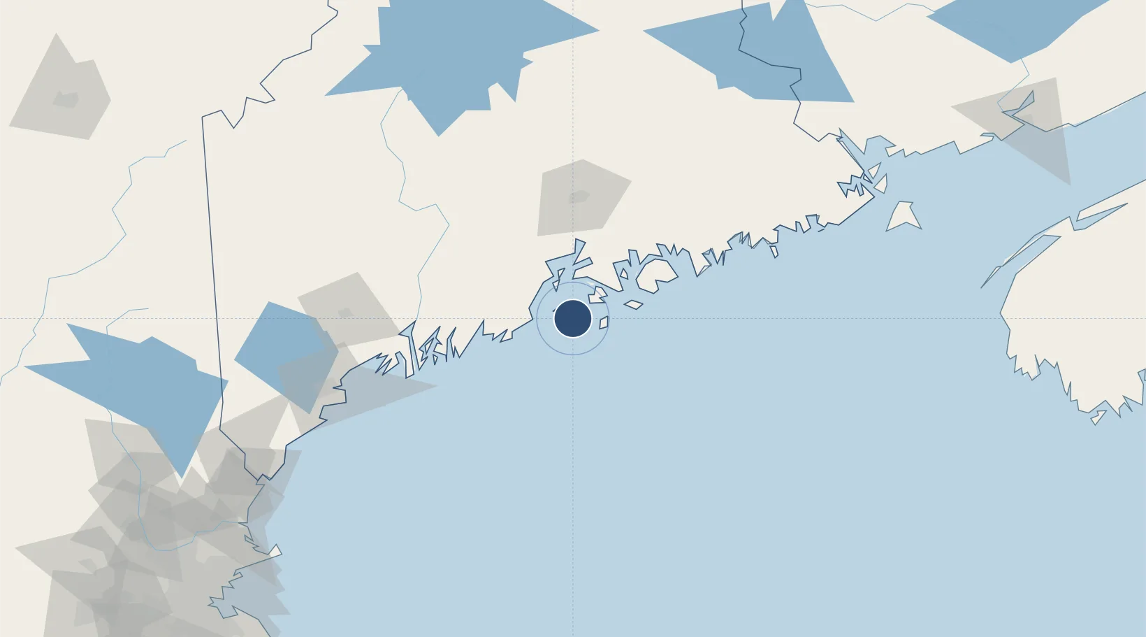
44.0732°, -68.8193°
1,510 ft
Longest runway
1
Runways
72 ft
Elevation

Runway & Layout

Vinalhaven Airport runway & taxiway layout
Runway & taxiway layout — OpenStreetMap (ODbL) / OurAirports

Runways · 1

RunwayDimensions SurfaceTrue headingLit
NE/SW 1,510 × 60ft GRVL
OurAirports

Airport Specifications

ICAO code
ME55
OurAirports
Airport class
Small airport
OurAirports
Scheduled service
Yes
OurAirports
Runway surface
GRVL
OurAirports
Served city
Vinalhaven
OurAirports

Location

Location of ME55
Natural Earth 10m (public domain) · Maine · ME55 · 44.07, -68.82GoogleOSMYandex

Nearby Logistics Neighbours

Airports
  1. 1Witherspoons Airport10 km
  2. 2Knox County Regional Airport22 km
  3. 3Matinicus Island Airport23 km
  4. 4Islesboro Airport27 km
  5. 5Hancock County-Bar Harbor Airport56 km
Nearest neighbours — logibook spatial index (haversine) over the source coordinates
Cities
  1. 1Camden23 km
  2. 2Rockport24 km
  3. 3Spruce Head25 km
  4. 4Little Deer Isle26 km
  5. 5Saint George30 km
Nearest neighbours — logibook spatial index (haversine) over the source coordinates
Ports
  1. 1Vinalhaven3 km
  2. 2North Haven8 km
  3. 3Stonington15 km
  4. 4Rockland23 km
  5. 5Rockport23 km
Nearest neighbours — logibook spatial index (haversine) over the source coordinates
Trade Zones
  1. 1FTZ No. 058 Bangor82 km
  2. 2FTZ No. 186 Waterville87 km
  3. 3FTZ No. 263 Auburn111 km
  4. 4FTZ No. 081 Portsmouth199 km
  5. 5Saint John255 km
Nearest neighbours — logibook spatial index (haversine) over the source coordinates
DatabookThe Record of Consolidated Knowledge
United States beyond logistics?
Browse databook

All Sources

AirportsOurAirports
Public domain
Portsthe NGA World Port Index
Public domain (US gov)
LocationsUN/LOCODE
UN/LOCODE — free
Trade Zonesthe World Bank SEZ database
CC BY 4.0
Trade ZonesOpen Zone Map
CC BY
InfrastructureOpenStreetMap
ODbL 1.0
← United States airports