Small airport · United States

Islesboro Airport57B
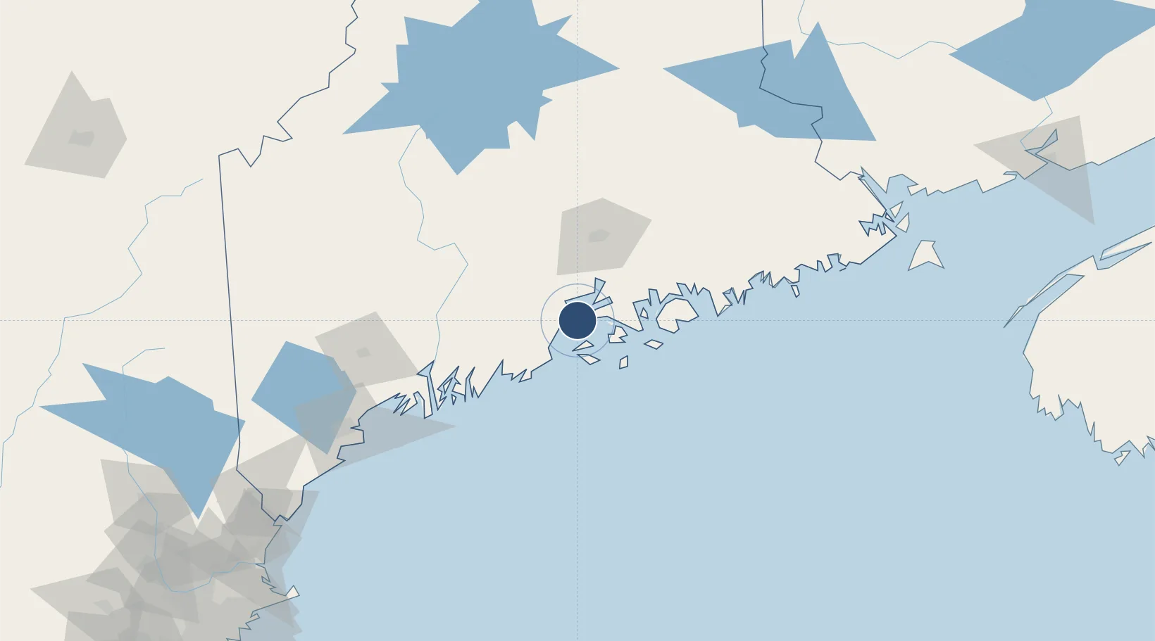
44.3025°, -68.9106°
2,400 ft
Longest runway
1
Runways
92 ft
Elevation

Runway & Layout

Islesboro Airport runway & taxiway layout
Runway & taxiway layout — OpenStreetMap (ODbL) / OurAirports

Runways · 1

RunwayDimensions SurfaceTrue headingLit
01/19 2,400 × 50ft ASPH-E
OurAirports

Airport Specifications

ICAO code
57B
OurAirports
Airport class
Small airport
OurAirports
Scheduled service
Yes
OurAirports
Runway surface
ASPH-E
OurAirports
Served city
Islesboro
OurAirports

Location

Location of 57B
Natural Earth 10m (public domain) · Maine · 57B · 44.30, -68.91GoogleOSMYandex

Nearby Logistics Neighbours

Airports
  1. 1Witherspoons Airport17 km
  2. 2Vinalhaven Airport27 km
  3. 3Knox County Regional Airport31 km
  4. 4Hancock County-Bar Harbor Airport47 km
  5. 5Matinicus Island Airport48 km
Nearest neighbours — logibook spatial index (haversine) over the source coordinates
Cities
  1. 1Camden16 km
  2. 2Little Deer Isle18 km
  3. 3Rockport19 km
  4. 4Waldo25 km
  5. 5Union31 km
Nearest neighbours — logibook spatial index (haversine) over the source coordinates
Ports
  1. 1Belfast15 km
  2. 2Camden16 km
  3. 3Searsport16 km
  4. 4Castine17 km
  5. 5Rockport18 km
Nearest neighbours — logibook spatial index (haversine) over the source coordinates
Trade Zones
  1. 1FTZ No. 058 Bangor57 km
  2. 2FTZ No. 186 Waterville68 km
  3. 3FTZ No. 263 Auburn106 km
  4. 4FTZ No. 081 Portsmouth208 km
  5. 5Saint John249 km
Nearest neighbours — logibook spatial index (haversine) over the source coordinates
DatabookThe Record of Consolidated Knowledge
United States beyond logistics?
Browse databook

All Sources

AirportsOurAirports
Public domain
Portsthe NGA World Port Index
Public domain (US gov)
LocationsUN/LOCODE
UN/LOCODE — free
Trade Zonesthe World Bank SEZ database
CC BY 4.0
Trade ZonesOpen Zone Map
CC BY
InfrastructureOpenStreetMap
ODbL 1.0
← United States airports