Small airport · United States
Witherspoons AirportME41
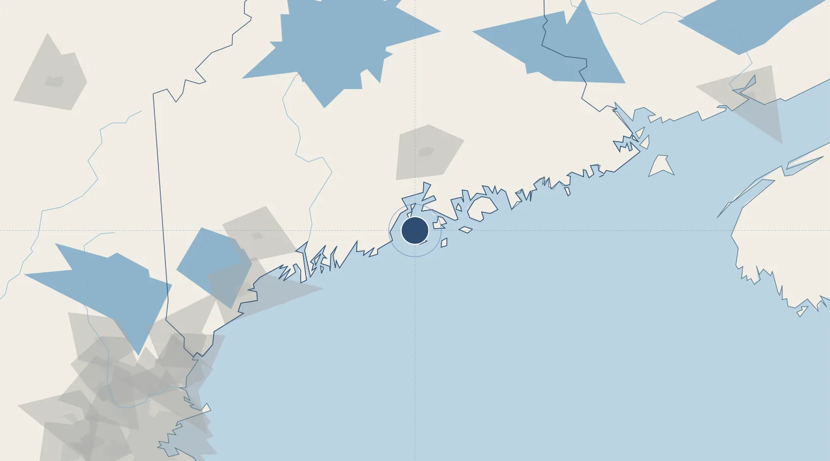
44.1516°, -68.8763°
1,045 ft
Longest runway
1
Runways
80 ft
Elevation
Runway & Layout

Runways · 1
| Runway | Dimensions | Surface | True heading | Lit |
|---|---|---|---|---|
| NE/SW | 1,045 × 60ft | Turf | — | — |
Airport Specifications
ICAO code
ME41
Airport class
Small airport
Scheduled service
Yes
Runway surface
Turf
Served city
North Haven
Location
Nearby Logistics Neighbours
Airports
- 1Vinalhaven Airport10 km
- 2Islesboro Airport17 km
- 3Knox County Regional Airport21 km
- 4Matinicus Island Airport31 km
- 5Hancock County-Bar Harbor Airport53 km
Cities
- 1Camden15 km
- 2Rockport17 km
- 3Little Deer Isle21 km
- 4Spruce Head26 km
- 5Saint George29 km
Ports
- 1North Haven2 km
- 2Vinalhaven12 km
- 3Rockport16 km
- 4Stonington17 km
- 5Camden17 km
Trade Zones
- 1FTZ No. 058 Bangor73 km
- 2FTZ No. 186 Waterville79 km
- 3FTZ No. 263 Auburn107 km
- 4FTZ No. 081 Portsmouth200 km
- 5Saint John255 km
DatabookThe Record of Consolidated Knowledge
United States beyond logistics?