Channel & Berth Profile
Pilotage, Tugs & Services
Tug assistanceNO
Salvage tugsNO
Potable waterYES
Diesel bunkersYES
Facilities & Capabilities
Container—
Ro-Ro—
Liquid bulk—
Dry bulk—
Oil terminal—
Break bulk—
Dry dock—
RepairsNO
Bunkering—
Rail link—
Dangerous cargo—
ISPS security—
Harbour Specifications
Harbour size
Very Small
Harbour type
Coastal (Natural)
Shelter
Good
Water body
North Atlantic Ocean
Tidal range
0.6 m
Overhead limit
No
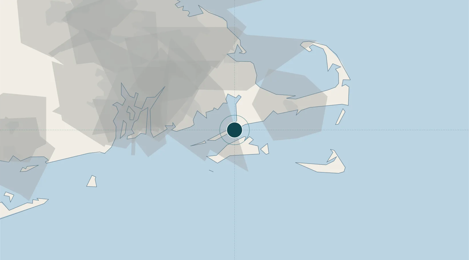
Location
Nearby Logistics Neighbours
Ports
- 1Falmouth6 km
- 2Vineyard Haven9 km
- 3Edgartown20 km
- 4New Bedford25 km
- 5Hyannis35 km
Cities
- 1Tisbury9 km
- 2Oak Bluffs11 km
- 3East Falmouth11 km
- 4Cataumet17 km
- 5Edgartown19 km
Airports
Trade Zones
DatabookThe Record of Consolidated Knowledge
United States beyond logistics?