Medium airport · United States

New Bedford Regional AirportKEWB
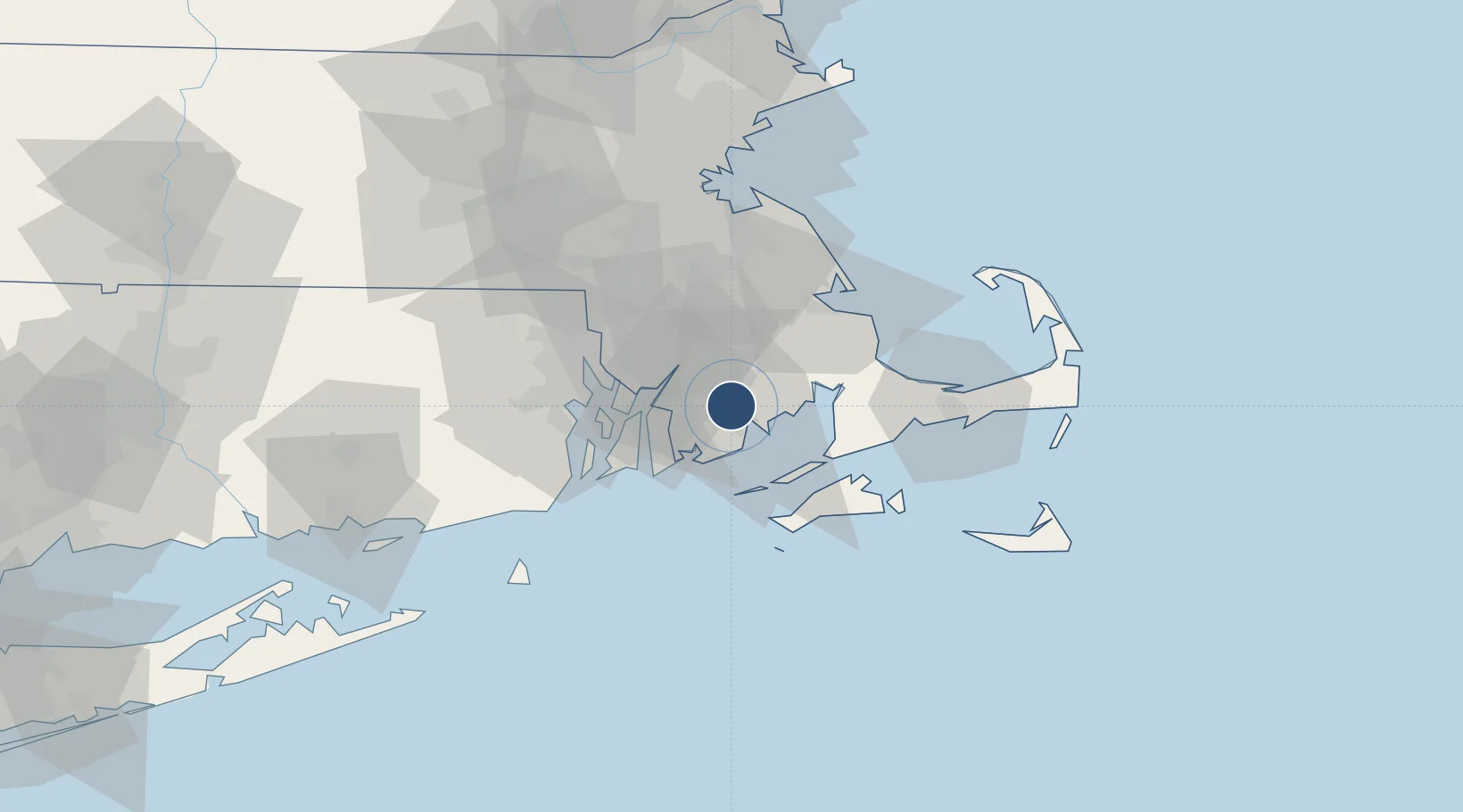
41.6761°, -70.9569°
5,400 ft
Longest runway
2
Runways
80 ft
Elevation

Runway & Layout

New Bedford Regional Airport runway & taxiway layout
Runway & taxiway layout — OpenStreetMap (ODbL) / OurAirports

Radio Frequencies

ATIS
126.85 MHz
TWR
118.1 MHz
GND
121.9 MHz
CTAF
118.1 MHz
A/D
128.7 MHz
PROVIDENCE APP/DEP
UNIC
122.95 MHz
UNICOM
OurAirports

Navaids

EW NDB Nefor 274 kHz
OurAirports

Runways · 2

RunwayDimensions SurfaceTrue headingLit
05/23 5,400 × 150ft Asphalt 038°
14/32 5,002 × 75ft Asphalt 129°
OurAirports

Airport Specifications

IATA code
EWB
OurAirports
ICAO code
KEWB
OurAirports
Airport class
Medium airport
OurAirports
Scheduled service
Yes
OurAirports
Runway surface
Asphalt
OurAirports
Served city
New Bedford
OurAirports

Location

Location of KEWB
Natural Earth 10m (public domain) · Massachusetts · KEWB · 41.68, -70.96GoogleOSMYandex

Nearby Logistics Neighbours

Airports
  1. 1Newport State Airport31 km
  2. 2Quonset State Airport39 km
  3. 3Rhode Island T. F. Green International Airport39 km
  4. 4Martha's Vineyard Airport43 km
  5. 5Cape Cod Gateway Airport56 km
Nearest neighbours — logibook spatial index (haversine) over the source coordinates
Cities
  1. 1North Dartmouth5 km
  2. 2New Bedford5 km
  3. 3East Freetown10 km
  4. 4South Dartmouth11 km
  5. 5Marion17 km
Nearest neighbours — logibook spatial index (haversine) over the source coordinates
Ports
  1. 1New Bedford6 km
  2. 2Fall River18 km
  3. 3Tiverton22 km
  4. 4Bristol26 km
  5. 5Woods Hole30 km
Nearest neighbours — logibook spatial index (haversine) over the source coordinates
Trade Zones
  1. 1FTZ No. 028 New Bedford4 km
  2. 2FTZ No. 105 Providence and North Kingstown44 km
  3. 3FTZ No. 027 Boston72 km
  4. 4FTZ No. 208 New London101 km
  5. 5FTZ No. 071 Windsor Locks142 km
Nearest neighbours — logibook spatial index (haversine) over the source coordinates
DatabookThe Record of Consolidated Knowledge
United States beyond logistics?
Browse databook

All Sources

AirportsOurAirports
Public domain
Portsthe NGA World Port Index
Public domain (US gov)
LocationsUN/LOCODE
UN/LOCODE — free
Trade Zonesthe World Bank SEZ database
CC BY 4.0
Trade ZonesOpen Zone Map
CC BY
InfrastructureOpenStreetMap
ODbL 1.0
← United States airports