Medium airport · United States
Cape Cod Gateway AirportKHYA
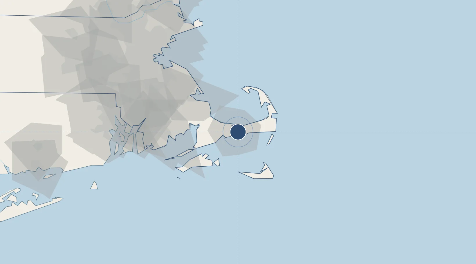
41.6693°, -70.2804°
5,425 ft
Longest runway
2
Runways
54 ft
Elevation
Runway & Layout

Radio Frequencies
ATIS
123.8 MHz
TWR
119.5 MHz
HYANNIS TWR
GND
121.9 MHz
CLD
125.15 MHz
CLNC DEL
CTAF
119.5 MHz
A/D
118.2 MHz
CAPE APP/DEP
RDO
126.425 MHz
BRIDGEPORT RDO
UNIC
122.95 MHz
UNICOM
Navaids
HY NDB Bogey 342 kHz
Runways · 2
| Runway | Dimensions | Surface | True heading | Lit |
|---|---|---|---|---|
| 06/24 | 5,425 × 150ft | Asphalt | 050° | ✓ |
| 15/33 | 5,255 × 150ft | Asphalt | 140° | ✓ |
Airport Specifications
IATA code
HYA
ICAO code
KHYA
Airport class
Medium airport
Scheduled service
Yes
Runway surface
Asphalt
Served city
Hyannis
Location
Nearby Logistics Neighbours
Airports
Cities
- 1West Yarmouth3 km
- 2Yarmouth5 km
- 3Centerville8 km
- 4South Yarmouth8 km
- 5Osterville9 km
Ports
- 1Hyannis2 km
- 2Falmouth31 km
- 3Vineyard Haven36 km
- 4Woods Hole36 km
- 5Edgartown37 km
Trade Zones
- 1FTZ No. 028 New Bedford60 km
- 2FTZ No. 105 Providence and North Kingstown99 km
- 3FTZ No. 027 Boston99 km
- 4FTZ No. 208 New London155 km
- 5FTZ No. 081 Portsmouth161 km
DatabookThe Record of Consolidated Knowledge
United States beyond logistics?