Channel & Berth Profile
Pilotage, Tugs & Services
Pilotage compulsoryYES
Tug assistanceYES
Shore powerYES
Potable waterYES
Diesel bunkersYES
MedicalYES
Facilities & Capabilities
Container—
Ro-Ro—
Liquid bulk—
Dry bulk—
Oil terminal—
Break bulk—
Dry dockNO
RepairsNO
BunkeringYES
Rail linkYES
Dangerous cargo—
ISPS security—
Harbour Specifications
Harbour size
Small
Harbour type
Coastal (Natural)
Shelter
Excellent
Water body
North Atlantic Ocean
Tidal range
1.2 m
Overhead limit
Yes
Pilotage
Yes
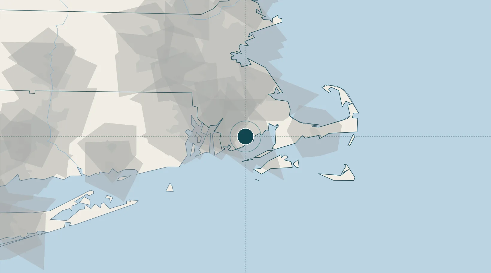
Location
Nearby Logistics Neighbours
Ports
- 1Fall River22 km
- 2Woods Hole25 km
- 3Tiverton25 km
- 4Falmouth27 km
- 5Bristol29 km
Cities
- 1North Dartmouth4 km
- 2South Dartmouth6 km
- 3East Freetown15 km
- 4Marion16 km
- 5Fall River22 km
Airports
Trade Zones
DatabookThe Record of Consolidated Knowledge
United States beyond logistics?