Medium airport · United States

Newport State AirportKUUU
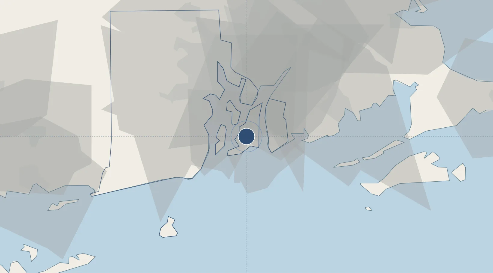
41.5322°, -71.2810°
2,999 ft
Longest runway
2
Runways
172 ft
Elevation

Runway & Layout

Newport State Airport runway & taxiway layout
Runway & taxiway layout — OpenStreetMap (ODbL) / OurAirports

Radio Frequencies

ASOS
132.075 MHz
CLD
127.25 MHz
CLNC DEL
A/D
128.7 MHz
PROVIDENCE APP/DEP
UNIC
122.8 MHz
CTAF/UNICOM
OurAirports

Runways · 2

RunwayDimensions SurfaceTrue headingLit
04/22 2,999 × 75ft Asphalt 024°
16/34 2,623 × 75ft Asphalt 144°
OurAirports

Airport Specifications

IATA code
NPT
OurAirports
ICAO code
KUUU
OurAirports
Airport class
Medium airport
OurAirports
Scheduled service
Yes
OurAirports
Runway surface
Asphalt
OurAirports
Served city
Newport
OurAirports

Location

Location of KUUU
Natural Earth 10m (public domain) · Rhode Island · KUUU · 41.53, -71.28GoogleOSMYandex

Nearby Logistics Neighbours

Airports
  1. 1Quonset State Airport13 km
  2. 2Rhode Island T. F. Green International Airport25 km
  3. 3New Bedford Regional Airport31 km
  4. 4Block Island State Airport48 km
  5. 5Westerly State Airport48 km
Nearest neighbours — logibook spatial index (haversine) over the source coordinates
Cities
  1. 1Middletown0 km
  2. 2Slocum20 km
  3. 3Brayton Point20 km
  4. 4Fall River21 km
  5. 5Exeter21 km
Nearest neighbours — logibook spatial index (haversine) over the source coordinates
Ports
  1. 1Newport6 km
  2. 2Quonset Point11 km
  3. 3Tiverton13 km
  4. 4Davisville Depot14 km
  5. 5Bristol15 km
Nearest neighbours — logibook spatial index (haversine) over the source coordinates
Trade Zones
  1. 1FTZ No. 028 New Bedford28 km
  2. 2FTZ No. 105 Providence and North Kingstown35 km
  3. 3FTZ No. 208 New London71 km
  4. 4FTZ No. 027 Boston88 km
  5. 5FTZ No. 071 Windsor Locks121 km
Nearest neighbours — logibook spatial index (haversine) over the source coordinates
DatabookThe Record of Consolidated Knowledge
United States beyond logistics?
Browse databook

All Sources

AirportsOurAirports
Public domain
Portsthe NGA World Port Index
Public domain (US gov)
LocationsUN/LOCODE
UN/LOCODE — free
Trade Zonesthe World Bank SEZ database
CC BY 4.0
Trade ZonesOpen Zone Map
CC BY
InfrastructureOpenStreetMap
ODbL 1.0
← United States airports