Transport Functions
Port
Rail
Road
Hub Profile
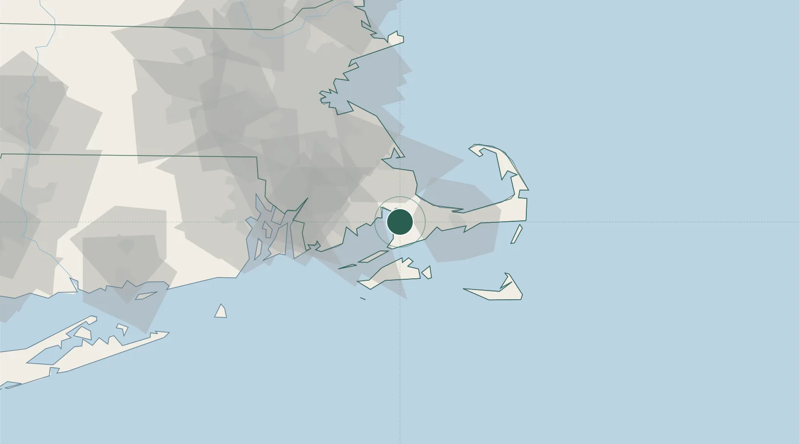
Place type
Populated place
Region
Massachusetts
Time zone
America/New_York
Elevation
10 m
Location
Nearby Logistics Neighbours
Cities
- 1Buzzards Bay7 km
- 2Marion12 km
- 3East Falmouth12 km
- 4Osterville20 km
- 5Centerville21 km
Ports
- 1Falmouth13 km
- 2Woods Hole17 km
- 3Vineyard Haven24 km
- 4New Bedford25 km
- 5Hyannis28 km
Airports
Trade Zones
- 1FTZ No. 028 New Bedford32 km
- 2FTZ No. 105 Providence and North Kingstown72 km
- 3FTZ No. 027 Boston83 km
- 4FTZ No. 208 New London128 km
- 5FTZ No. 081 Portsmouth156 km
DatabookThe Record of Consolidated Knowledge
United States beyond logistics?