Medium airport · United States
Nantucket Memorial AirportKACK
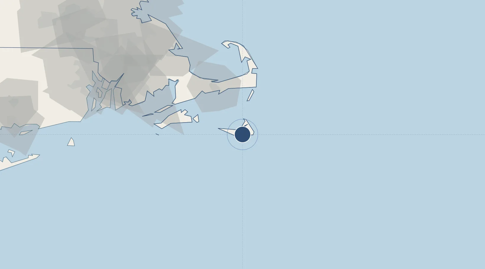
41.2531°, -70.0602°
6,303 ft
Longest runway
2
Runways
47 ft
Elevation
Runway & Layout

Radio Frequencies
ATIS
127.5 MHz
TWR
118.3 MHz
GND
121.7 MHz
CLD
119.375 MHz
CLNC DEL
CTAF
118.3 MHz
A/D
126.1 MHz
CAPE APP/DEP
RDO
116.2 MHz
BRIDGEPORT RDO
UNIC
122.95 MHz
UNICOM
Navaids
AC NDB Waivs 248 kHz
ACK VOR-DME Nantucket 116.20 MHz
Runways · 2
| Runway | Dimensions | Surface | True heading | Lit |
|---|---|---|---|---|
| 06/24 | 6,303 × 150ft | Asphalt | 045° | ✓ |
| 15/33 | 4,500 × 100ft | Asphalt | 135° | ✓ |
Airport Specifications
IATA code
ACK
ICAO code
KACK
Airport class
Medium airport
Scheduled service
Yes
Runway surface
Asphalt
Served city
Nantucket
Location
Nearby Logistics Neighbours
Airports
- 1Martha's Vineyard Airport49 km
- 2Cape Cod Gateway Airport50 km
- 3New Bedford Regional Airport88 km
- 4Newport State Airport107 km
- 5Quonset State Airport119 km
Cities
- 1Edgartown41 km
- 2West Yarmouth47 km
- 3South Yarmouth47 km
- 4Chatham47 km
- 5Oak Bluffs48 km
Ports
- 1Nantucket5 km
- 2Edgartown40 km
- 3Hyannis48 km
- 4Vineyard Haven50 km
- 5Falmouth57 km
Trade Zones
- 1FTZ No. 028 New Bedford91 km
- 2FTZ No. 105 Providence and North Kingstown132 km
- 3FTZ No. 027 Boston147 km
- 4FTZ No. 208 New London171 km
- 5FTZ No. 081 Portsmouth211 km
DatabookThe Record of Consolidated Knowledge
United States beyond logistics?