UN/LOCODE hub · United States
USETW
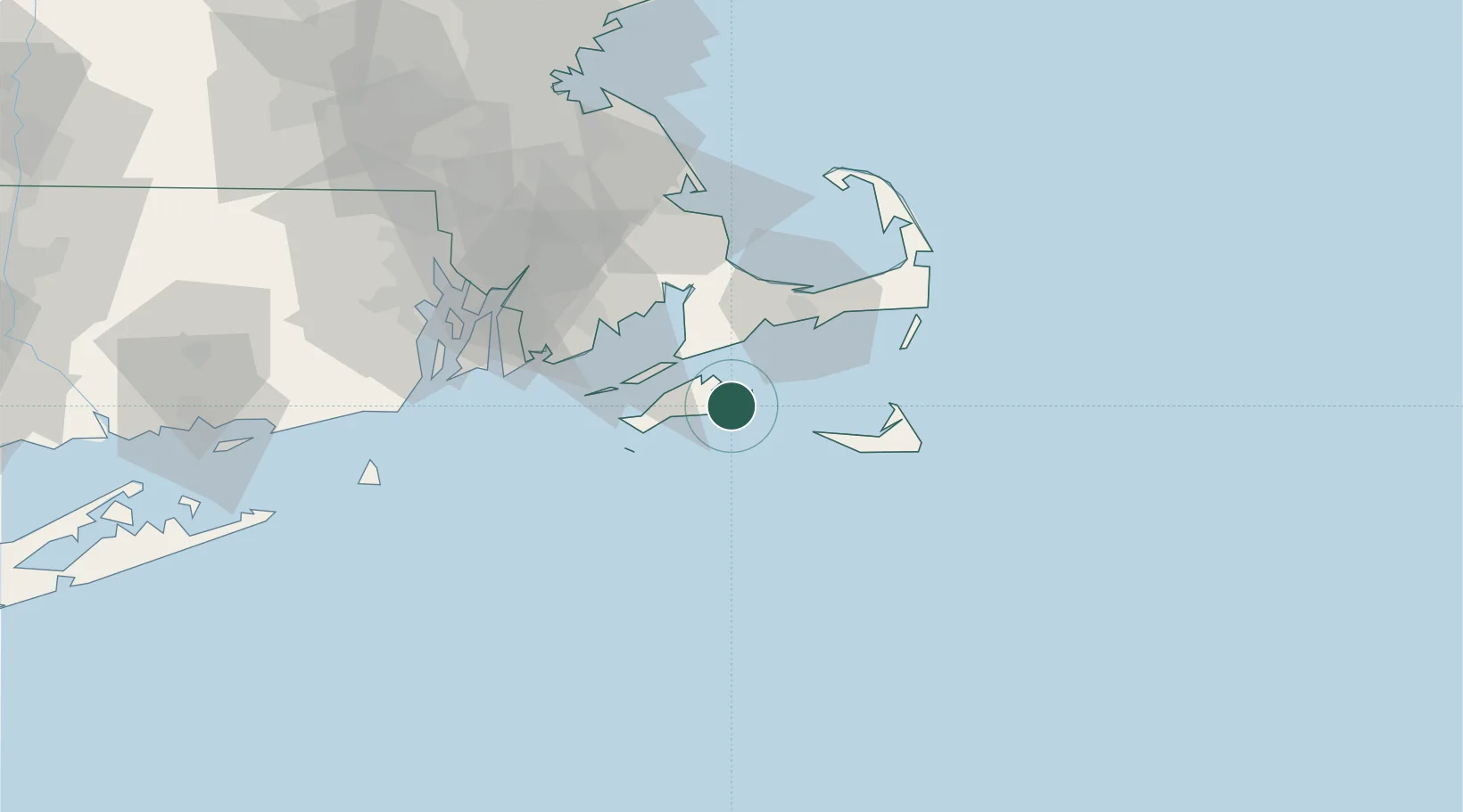
Edgartown
41.3833°, -70.5167°
4,306
Population
2
Transport functions
Transport Functions
Port
Road
Hub Profile
Place type
Provincial seat
Region
Massachusetts
Population
4,306
Time zone
America/New_York
Elevation
2 m
Location
Nearby Logistics Neighbours
Cities
- 1Oak Bluffs9 km
- 2Tisbury10 km
- 3East Falmouth21 km
- 4Menemsha21 km
- 5Osterville30 km
Ports
- 1Vineyard Haven10 km
- 2Woods Hole19 km
- 3Falmouth20 km
- 4Hyannis35 km
- 5Nantucket37 km
Airports
Trade Zones
- 1FTZ No. 028 New Bedford51 km
- 2FTZ No. 105 Providence and North Kingstown92 km
- 3FTZ No. 027 Boston115 km
- 4FTZ No. 208 New London132 km
- 5FTZ No. 071 Windsor Locks186 km
DatabookThe Record of Consolidated Knowledge
United States beyond logistics?