Channel & Berth Profile
Pilotage, Tugs & Services
Pilotage compulsoryNO
Tug assistanceNO
Salvage tugsNO
Potable waterYES
Diesel bunkersYES
Facilities & Capabilities
Container—
Ro-Ro—
Liquid bulk—
Dry bulk—
Oil terminal—
Break bulk—
Dry dock—
RepairsNO
BunkeringYES
Rail linkYES
Dangerous cargo—
ISPS security—
Harbour Specifications
Harbour size
Very Small
Harbour type
Coastal (Natural)
Shelter
Good
Water body
North Atlantic Ocean
Tidal range
0.6 m
Overhead limit
No
Pilotage
No
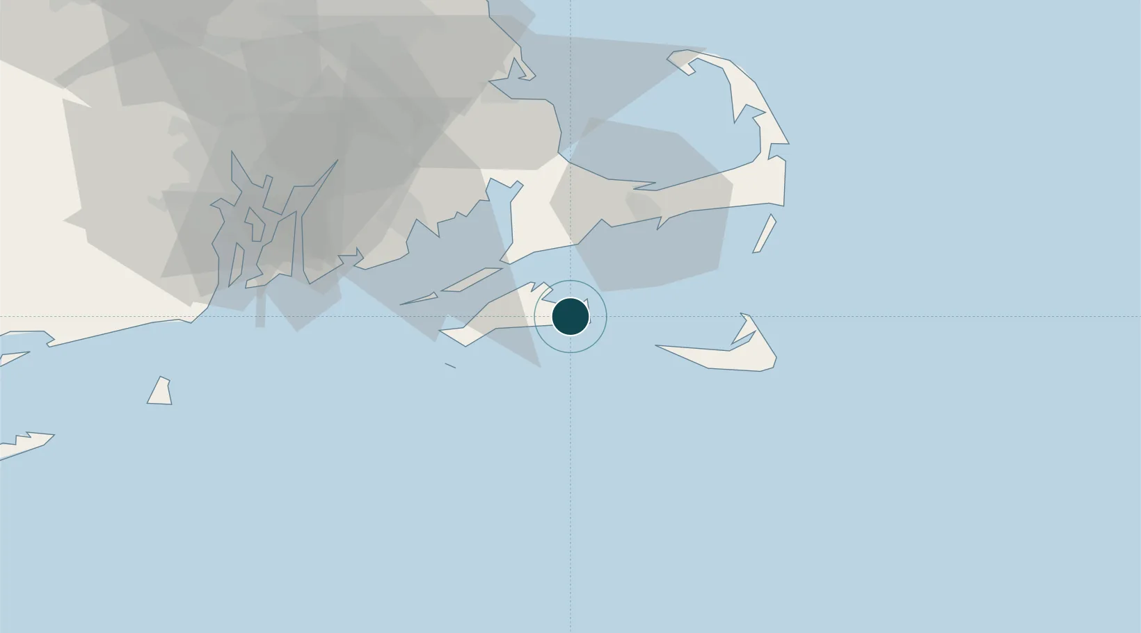
Location
Nearby Logistics Neighbours
Ports
- 1Vineyard Haven11 km
- 2Woods Hole20 km
- 3Falmouth21 km
- 4Hyannis35 km
- 5Nantucket35 km
Cities
- 1Oak Bluffs9 km
- 2Tisbury11 km
- 3East Falmouth21 km
- 4Menemsha23 km
- 5Osterville29 km
Airports
Trade Zones
- 1FTZ No. 028 New Bedford52 km
- 2FTZ No. 105 Providence and North Kingstown93 km
- 3FTZ No. 027 Boston115 km
- 4FTZ No. 208 New London133 km
- 5FTZ No. 071 Windsor Locks187 km
DatabookThe Record of Consolidated Knowledge
United States beyond logistics?