Transport Functions
Multimodal
Hub Profile
Region
MA
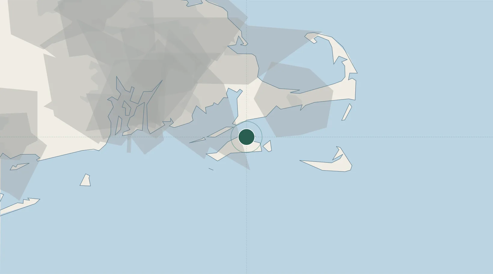
Location
Nearby Logistics Neighbours
Cities
- 1Oak Bluffs3 km
- 2Edgartown10 km
- 3East Falmouth14 km
- 4Menemsha18 km
- 5Cataumet24 km
Ports
- 1Vineyard Haven0 km
- 2Woods Hole9 km
- 3Edgartown11 km
- 4Falmouth11 km
- 5New Bedford33 km
Airports
Trade Zones
- 1FTZ No. 028 New Bedford41 km
- 2FTZ No. 105 Providence and North Kingstown82 km
- 3FTZ No. 027 Boston105 km
- 4FTZ No. 208 New London125 km
- 5FTZ No. 071 Windsor Locks177 km
DatabookThe Record of Consolidated Knowledge
United States beyond logistics?