UN/LOCODE hub · United States
USOB2
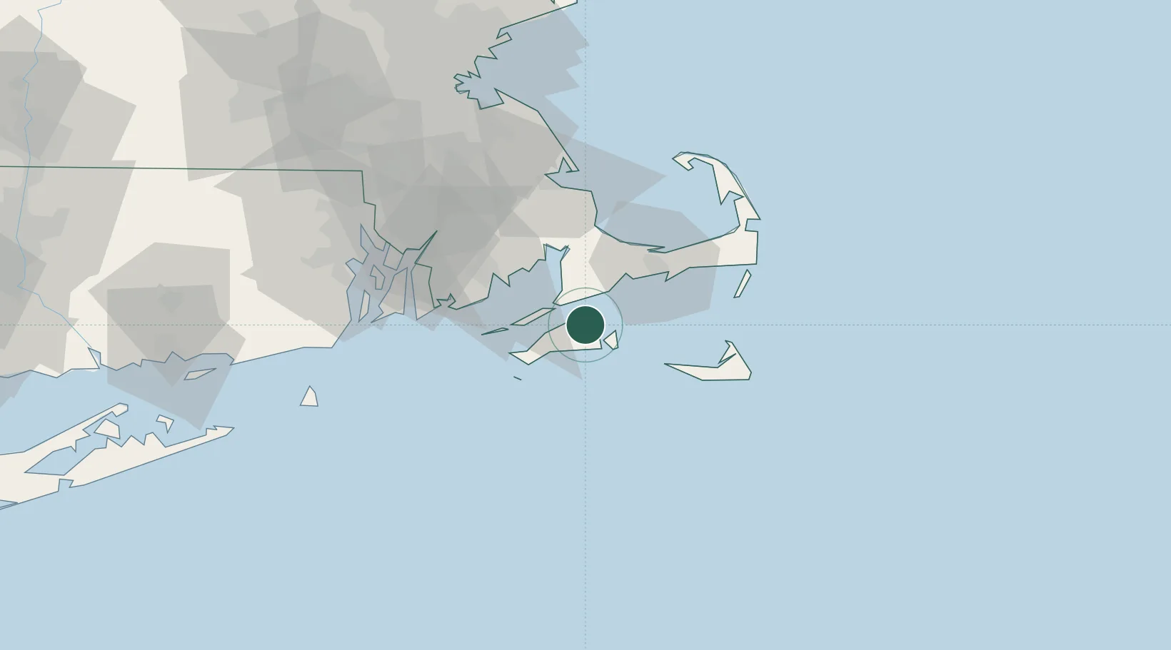
Oak Bluffs
41.4500°, -70.5667°
3,778
Population
2
Transport functions
Transport Functions
Port
Road
Hub Profile
Place type
Populated place
Region
Massachusetts
Population
3,778
Time zone
America/New_York
Elevation
1 m
Location
Nearby Logistics Neighbours
Cities
- 1Tisbury3 km
- 2Edgartown9 km
- 3East Falmouth13 km
- 4Menemsha20 km
- 5Cataumet24 km
Ports
- 1Vineyard Haven3 km
- 2Edgartown9 km
- 3Woods Hole11 km
- 4Falmouth12 km
- 5Hyannis32 km
Airports
Trade Zones
- 1FTZ No. 028 New Bedford43 km
- 2FTZ No. 105 Providence and North Kingstown84 km
- 3FTZ No. 027 Boston106 km
- 4FTZ No. 208 New London128 km
- 5FTZ No. 071 Windsor Locks180 km
DatabookThe Record of Consolidated Knowledge
United States beyond logistics?